Print a Piece of the USA as 3D Map
You can export your 3D map as PNG file with transparent background in a size of up to 4000 x 4000 px. You can easily integrate this PNG into your layout and create print files from it. For example for canvas prints, poster, brochures or flyers.
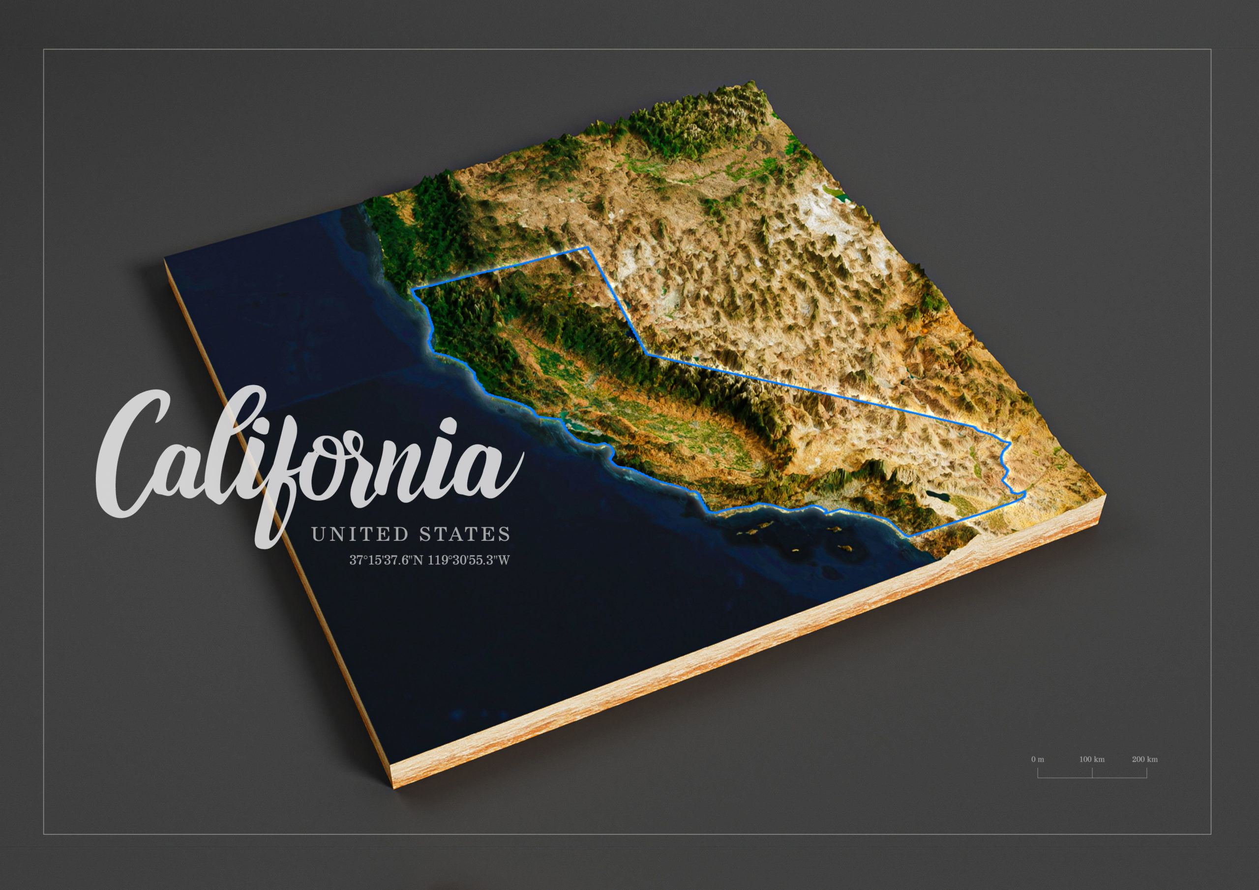
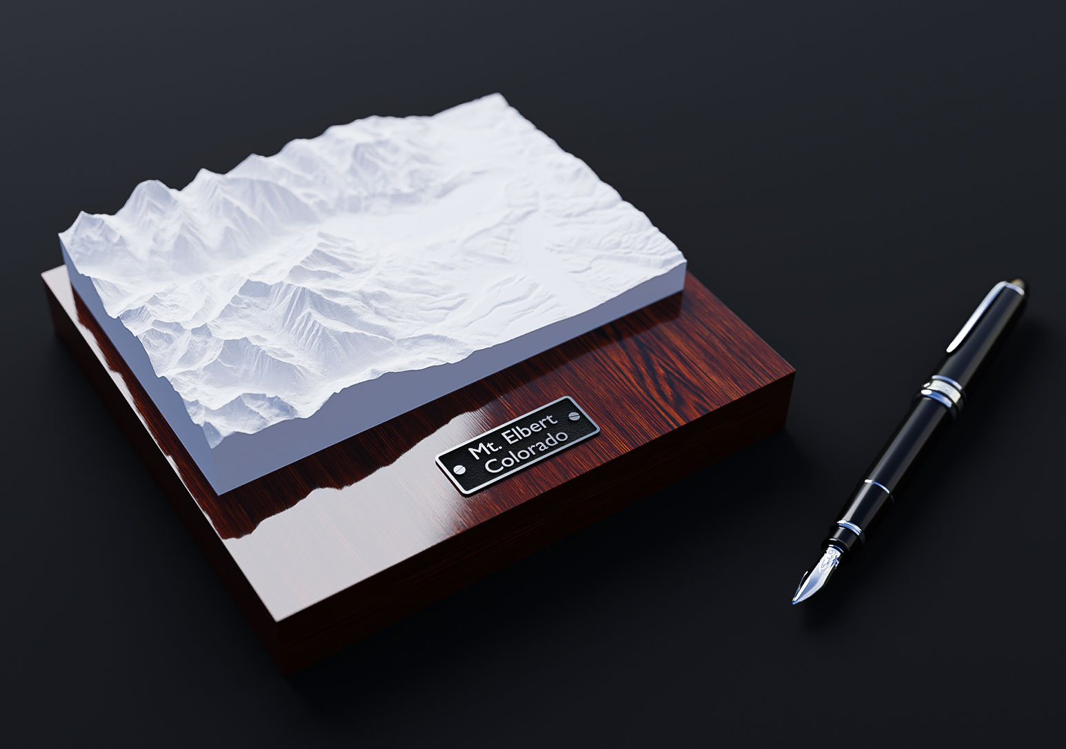
Terrain 3D Print of the U.S.A.
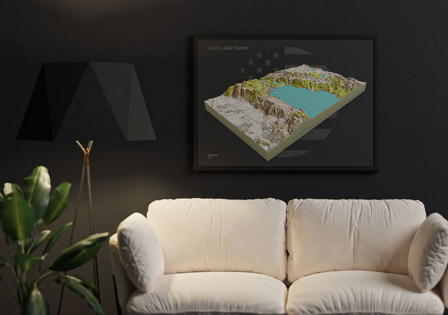
Embed USA 3D Maps on your Website
You can easily embed 3D maps on your website. You can create labels and pins. Use different textures for the map borders and background sky.
Your visitor can explore the map by rotating and zooming. The interactive 3D map is not just a image of a piece of India, it is an eye-catcher and the visitor will enjoy your website!
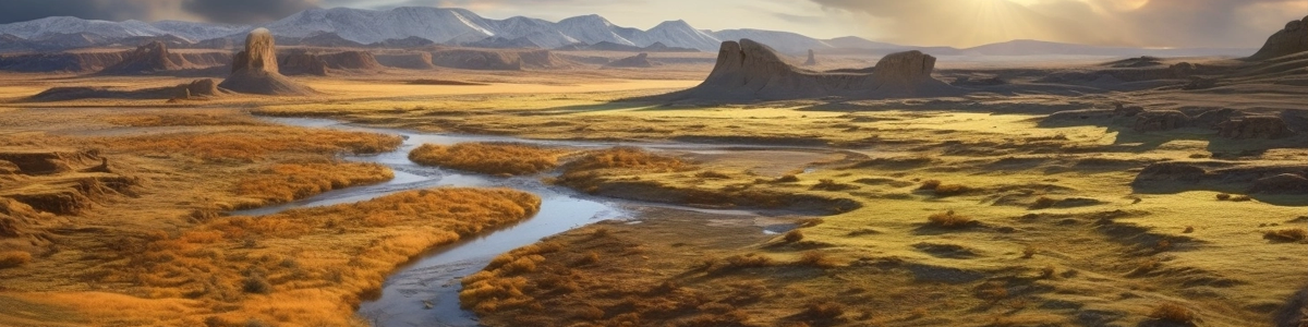
Grand Canyon: The example 3D map shows a section of the Canyonlands National Park with the Dead Horse Point State Park, a state park of Utah in the United States, featuring a dramatic overlook of the Colorado River.
Download USA 3D Map as 3D file
Export the 3D map as a 3d file and use it in other 3D software. GLB or glTF can be selected as the export format.
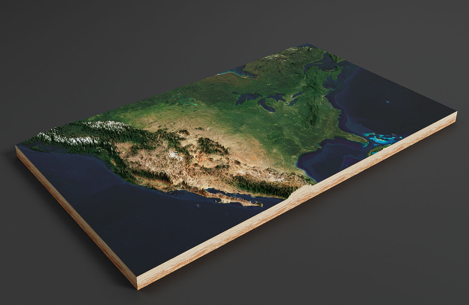
In the example you see a 3D map of the U.S.A. rendered with Blender. It was imported with our free Blender add-on.
Facts about the United States

The United States of America (U.S.A., USA, United States, U.S., US or America) is a North American country that is known for its diverse geography, rich cultural heritage, and strong economy. Here are some key facts about the country:
Geography: The United States has a land area of 9.8 million square kilometers, making it the third largest country in the world. It shares borders with Canada to the north and Mexico to the south, and has coastlines on the Atlantic, Pacific, and Arctic Oceans. The country has diverse geography, ranging from the Appalachian Mountains to the Great Plains, from the Rocky Mountains to the deserts of the Southwest.
Demographics: The United States has a population of over 331 million people, making it the third most populous country in the world. English is the official language, but Spanish is also widely spoken. The country is known for its diverse population, with people from all over the world immigrating to the US.
Culture: The US has a diverse cultural heritage, with influences from Native American, European, African, and Asian cultures. The country is known for its music, art, literature, and cuisine, which vary widely from region to region. Popular cultural exports include Hollywood movies, American TV shows, and fast food chains like McDonald’s.
Economy: The US has the largest economy in the world, with a GDP of over $21 trillion. The country is home to many large corporations and is a hub for innovation and technology. The service sector is the largest part of the US economy, followed by manufacturing and agriculture. The country is also a major exporter, with top exports including aircraft, refined petroleum, and cars.
Politics: The US is a federal presidential republic with a president as the head of state and government. The country has a two-party system, with the Republican and Democratic parties dominating national politics. The US is also known for its system of checks and balances, with separate branches of government (executive, legislative, and judicial) designed to prevent any one branch from becoming too powerful.
Overall, the United States is a large and diverse country with a rich cultural heritage and a strong economy. Its political system and cultural exports have had a significant impact on the world, and it remains an important player in international affairs. Whether you’re interested in history, culture, or business, there’s something for everyone to explore in the United States.