Download Heightmaps & Textures

Download Heightmaps & Textures

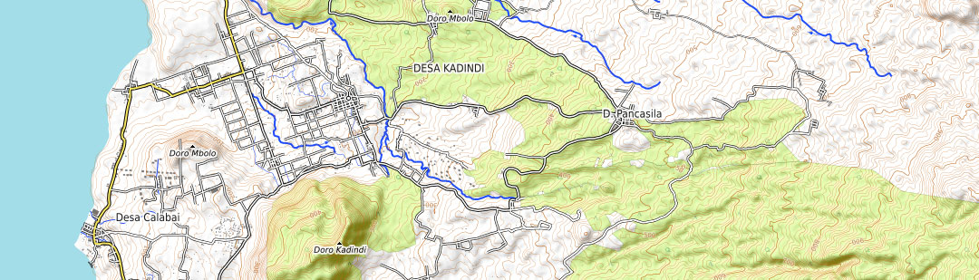
Generate grayscale heightmaps and textures from real-world locations in hi-res quality. The heightfield is suitable for use as a displacement map in 3D applications like blender or game engines like Unreal.

What’s the Heightmap and Texture Set

Heightmap

Satellite

OpenStreetMap

OpenTopoMap

Included in the download are the highest possible resolutions of the chosen texture (satellite, OSM, OTM) and a fitting 8 bit or 16 bit grayscale heightmap, both as PNG file. With this set its possible to create a 3D terrain in common 3D programs (e.g. Blender, MAYA, 3D Max, Cinema4D, ZBrush), game engines (e.g. Unity, Unreal) or in Photoshop with the aid of our 3D Map plugins (3D-Mapper, Atlas and Terrain).
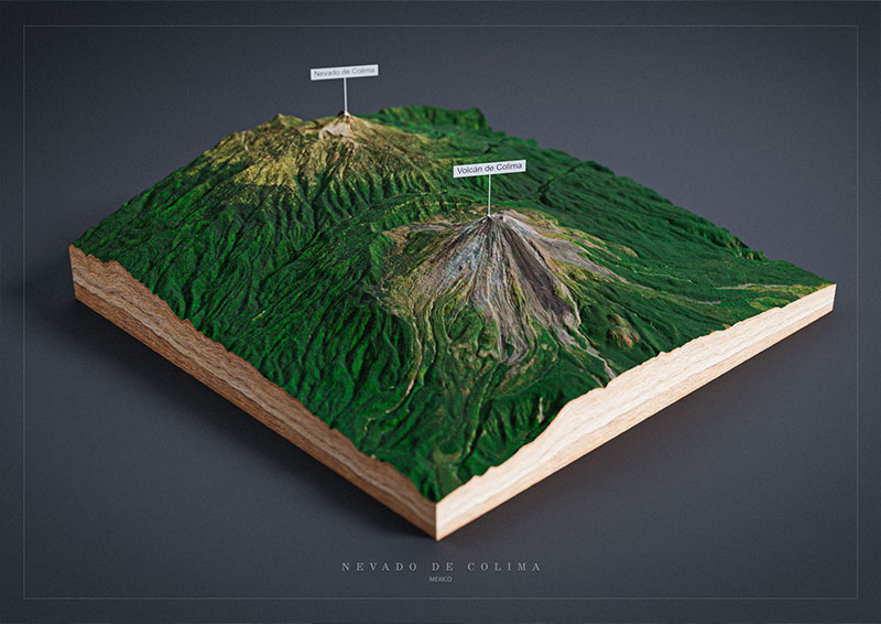
Unity 3D Terrain

This Tutorial shows how to create 3D terrain from heightmap in Unity Engine.

Unreal 4 Engine

This Tutorial shows how to create 3D terrain from heightmap in Unreal 4 Engine.

Blender 3D Map

This Tutorial shows how to create a 3D map from heightmap in free Blender.

Photoshop 3D Map

This Tutorial shows how to create a 3D map from heightmap in Photoshop with Atlas.

Replace Low-Res Image Sets

You can also use these high-res images in the Embed 3D Map set and our WordPress plugin to replace the low-res versions. The loading time will increase afterwards, but the quality and details of the 3D map will appear much better.

High-Res ImageLow-Res Image

Use Heightmaps and Textures in your Designs

Export the 3D map with high resolution heightmap and texture as a 3d file and use it in other 3D software. GLB or glTF can be selected as the export format.

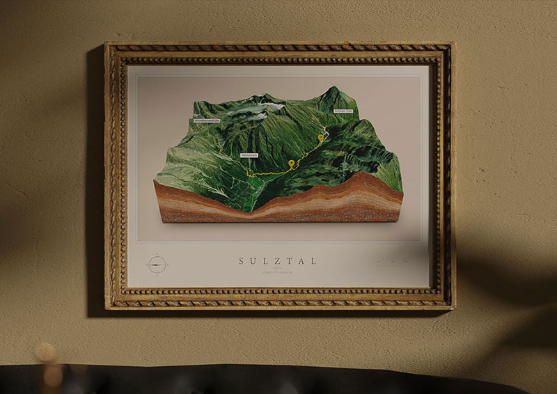
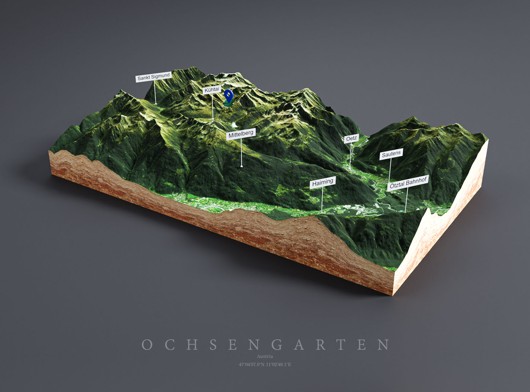
In this example you see a 3D map of Austria rendered in Blender. It was imported with our free Blender add-on. Click to enlarge.

Frequently Asked Questions

A heightmap is a grayscale image that represents with each pixel elevations of a terrain. We use this data from heightmaps in the form of displacement maps to accurately create complex 3D terrains. A light value stands for a high position , a dark value for a low position of the 3D map surface. With an 8-bit grayscale image, 256 heights can be displayed.

A heightmap is a type of 2D representation of a 3D map that encodes the elevation data of the terrain or surface. In other words, it is a grayscale image that assigns a different shade of gray to each point on a grid based on its height or altitude. This type of map is often used as a starting point to create a 3D map because it provides a simple way to represent the topography of a region.

A 3D map can be created from a heightmap by converting the grayscale values into 3D coordinates and then rendering the surface using 3D graphics software. The result is a 3D model that accurately represents the terrain and features of the area depicted in the heightmap. So, a heightmap is an essential component of creating a 3D map as it provides the elevation data needed to create a realistic representation of the terrain.

Heightmaps can be used for a wide range of applications, including:

  1. Creating 3D maps: As mentioned earlier, heightmaps provide elevation data that is used to create 3D maps. These maps can be used for a variety of purposes, including urban planning, gaming, virtual reality and simulations.

  2. Terrain analysis: Heightmaps can be used to analyze terrain features like slope, aspect, and curvature. This information is useful in fields such as geology, ecology and forestry.

  3. Land use planning: Heightmaps can be used to identify suitable areas for land use planning, such as construction of buildings, roads or other infrastructure.

  4. Flood modeling: Heightmaps can be used to simulate floods and predict how water will flow across a landscape. This information can be useful in flood management and disaster response planning.

  5. Navigation: Heightmaps can be used to create digital elevation models (DEMs) that are used in GPS navigation systems to provide information about elevation and terrain features.

Overall, heightmaps are a valuable tool for visualizing and analyzing terrain and can be used in a wide range of applications.

The size of the download image depends on the resolution of the used screen. To get the largest possible size, we recommend to use to switch to full screen view when selecting the map section. Depending on the screen resolution the heightmap and the respective texture can reach a size of 4.000 x 3.000 px and more
The resolution of the 3D map preview is considerably lower (max. 1.000 x 1.000 px) as in the actual download in order to reduce loading times.
Texture and Heightmap Sets will be exported in the highest possible resolution. If you need higher resolution maps, you need to replace the textures. To do this, download the Heightmap + Textures Set of the respective map.

Note: The resolution of the maps depends on the map provider. Satellite maps are currently available up to zoom level 13z, respectively up to 18z for the US and Europe. OpenStreet maps are available up to 18z and OpenTopo maps up to 17z. We have no influence on the quality of these maps.

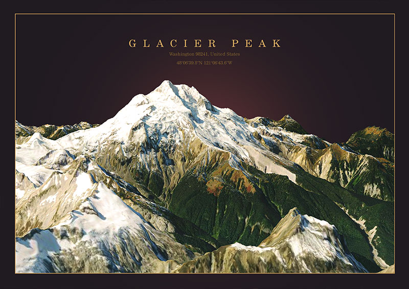
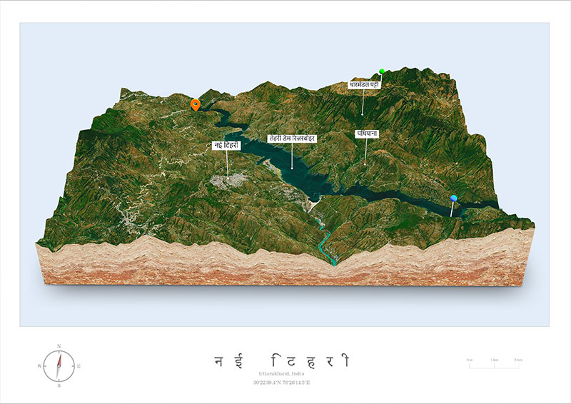
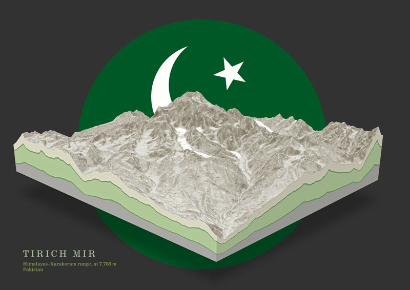
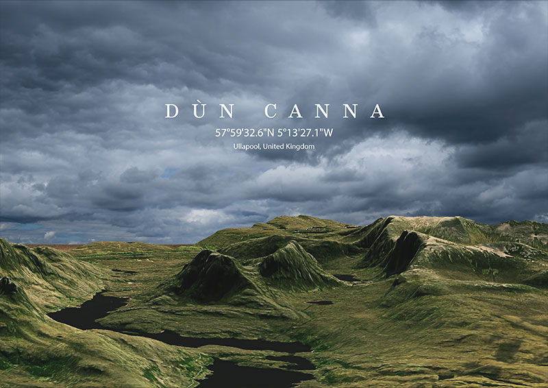
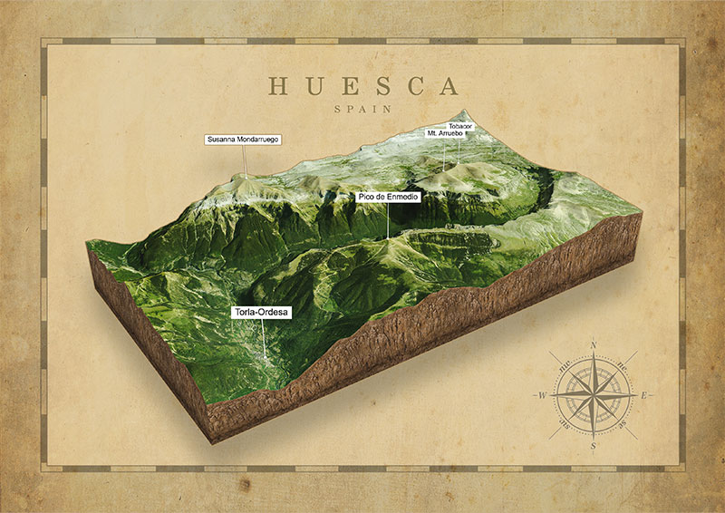
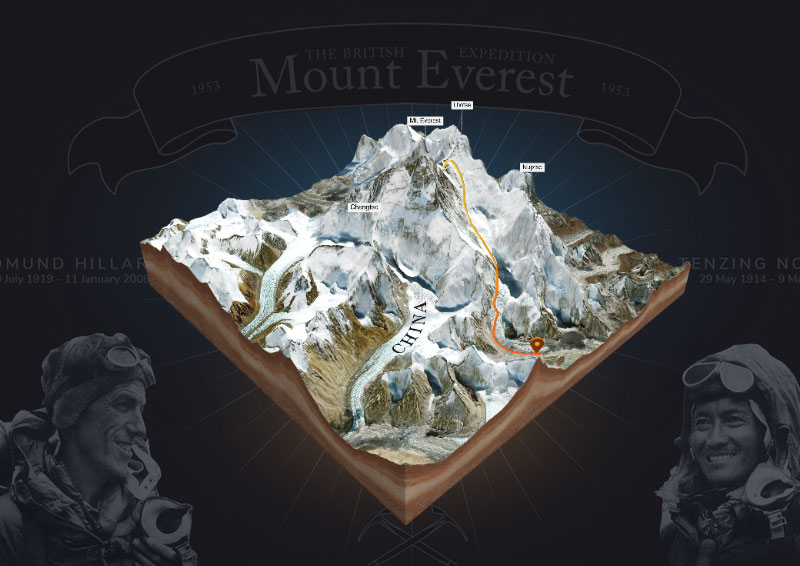
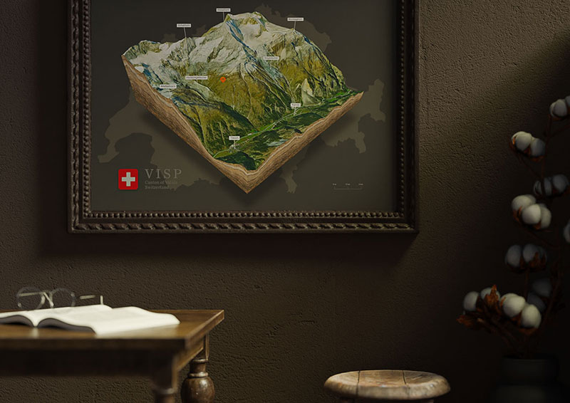
3D Maps Around the World

USA 3D Maps
Indian 3D Maps
3D Maps of Pakistan
Austria 3D Maps - Europe
United Kingdom 3D Maps - Europe
Spain 3D Maps - Europe
Mount Everest 3D Maps - Asia
Switzerland 3D Maps - Europe
Mexico 3D Maps