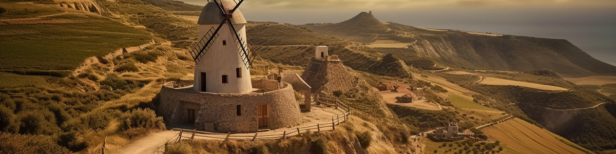
Print a Piece of Spain as 3D Map
You can export your 3D map as PNG file with transparent background in a size of up to 4000 x 4000 px. You can easily integrate this PNG into your layout and create print files from it. For example for canvas prints, poster, brochures or flyers.
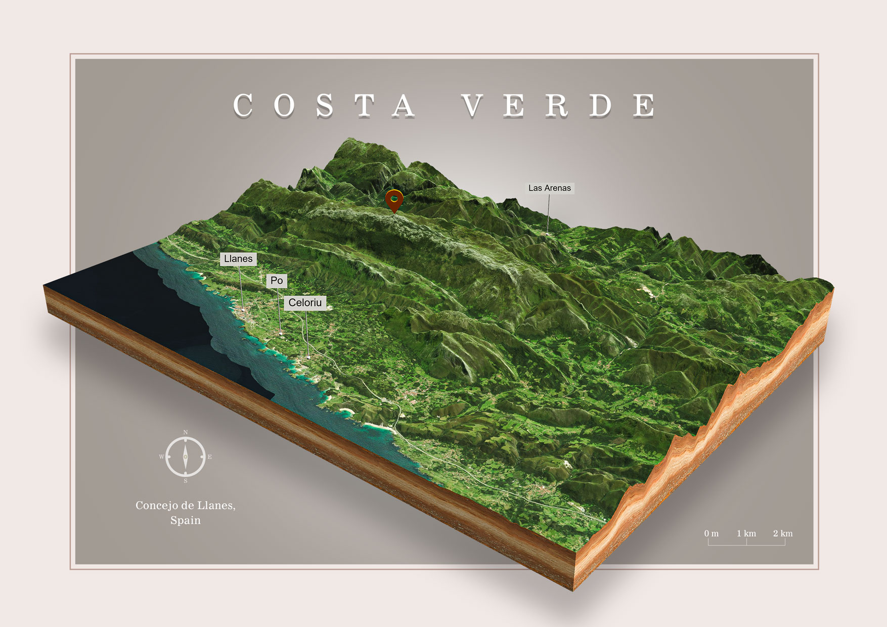

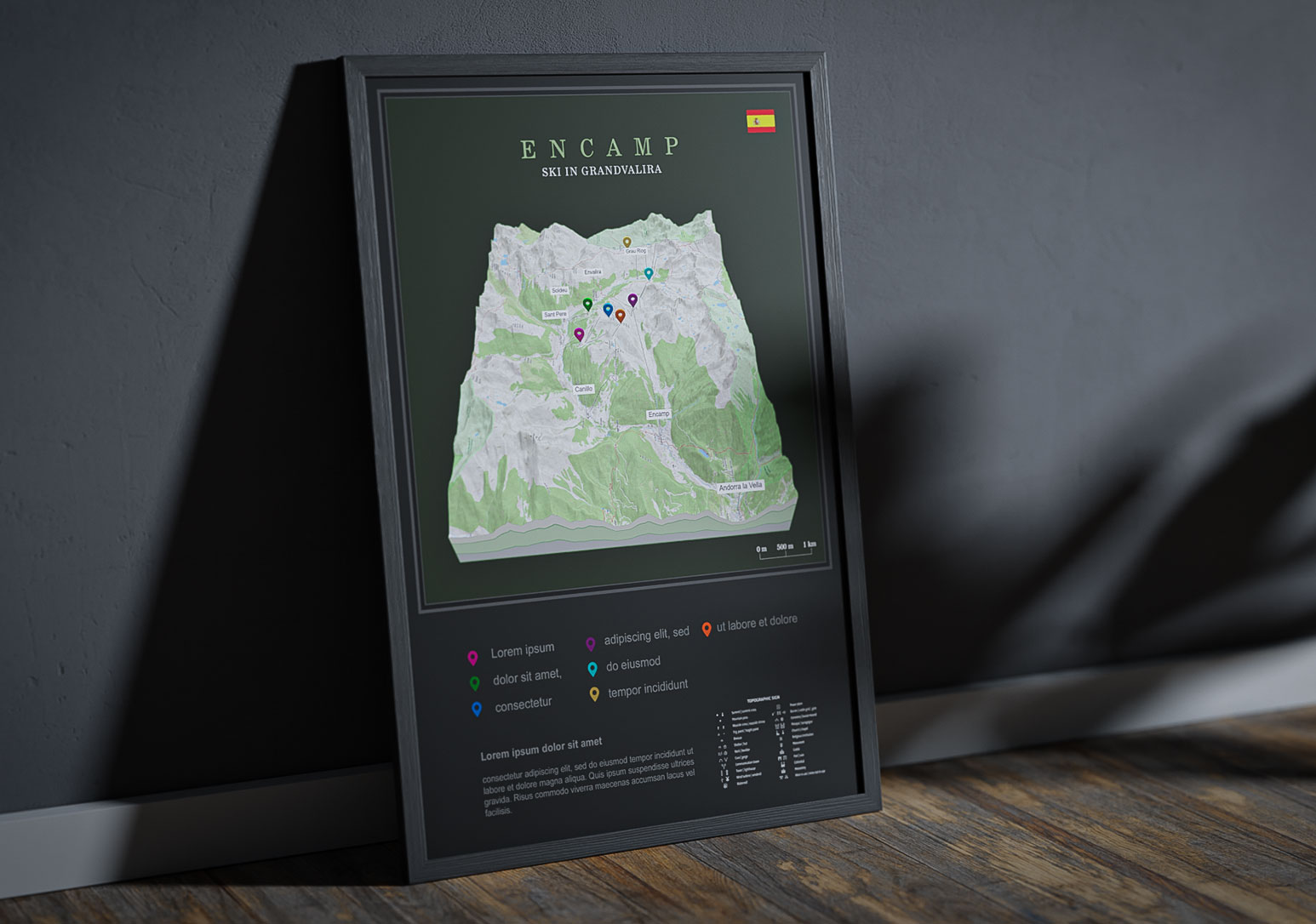
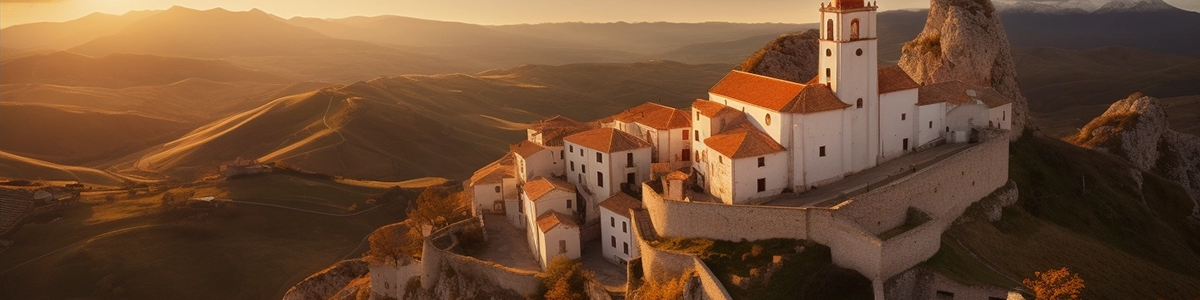
Embed Spain 3D Maps on your Website
You can easily embed 3D maps on your website. You can create labels and pins. Use different textures for the map borders and background sky.
Your visitor can explore the map by rotating and zooming. The interactive 3D map is not just a image of a piece of India, it is an eye-catcher and the visitor will enjoy your website!
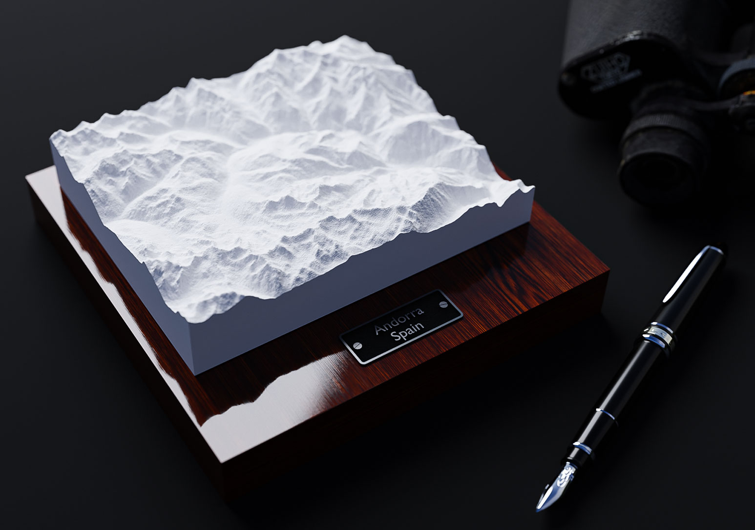
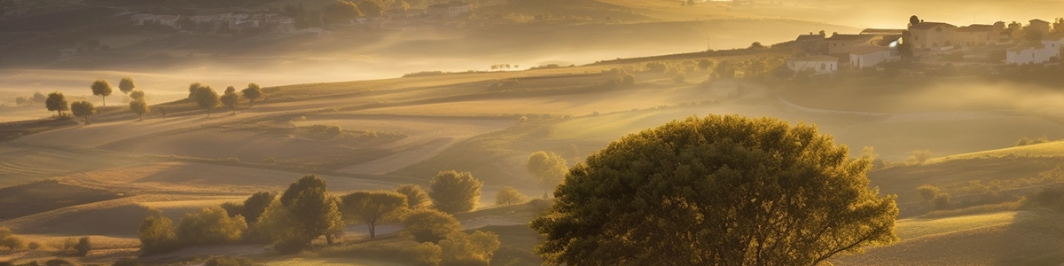
The example 3D map shows a section of the Pyrenees. Aneto is the highest mountain in the Pyrenees and in Aragon, and Spain’s third-highest mountain.
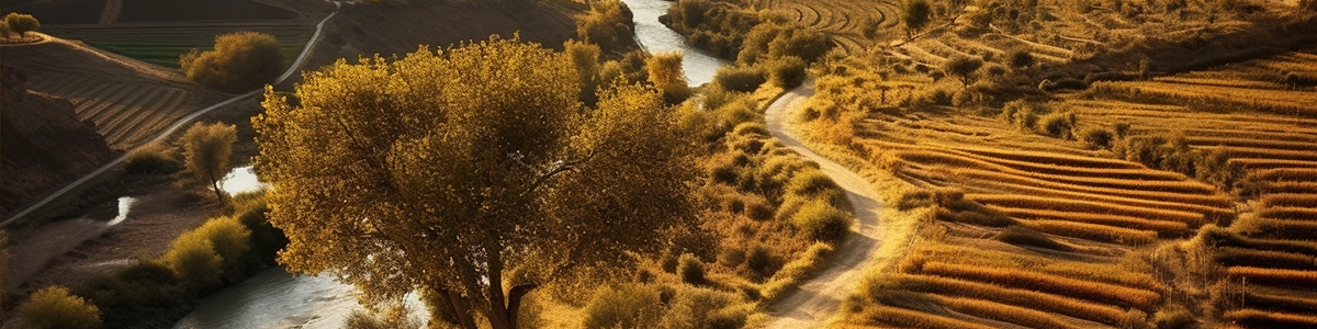
Download Spain 3D Map as 3D file
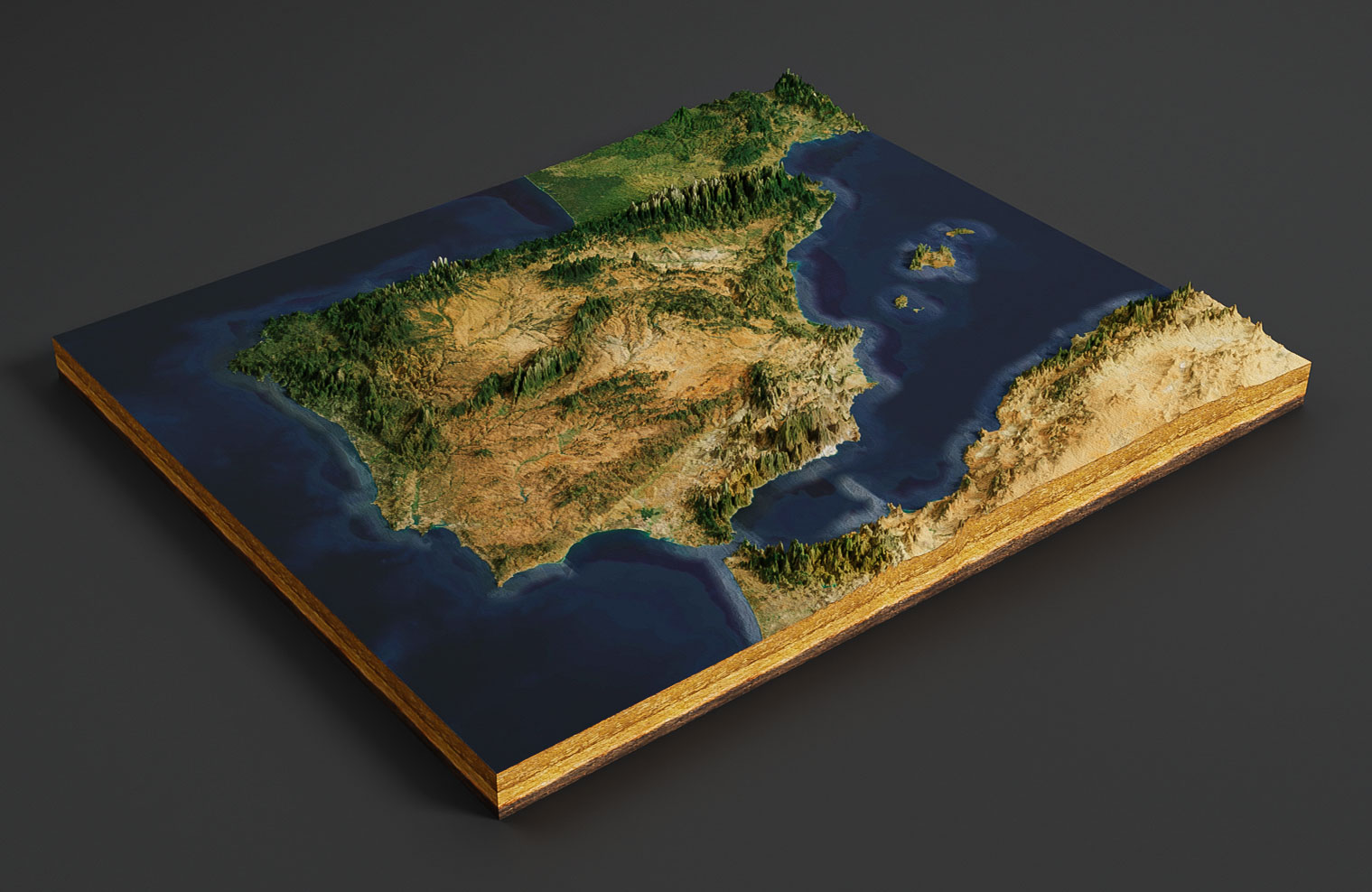
Export the 3D map as a 3d file and use it in other 3D software. GLB or glTF can be selected as the export format.
In the example you see a 3D map of Spain rendered with Blender. It was imported with our free Blender add-on.
Facts about Spain

España, Spain or the Kingdom of Spain is a country located in southwestern Europe and is known for its rich history, culture, and cuisine. Here are some key facts about Spain:
Geography: Spain is the fourth-largest country in Europe and has a diverse landscape that includes mountains, beaches, and deserts. The country shares land borders with Portugal, France, and Andorra, and is surrounded by the Atlantic Ocean and the Mediterranean Sea.
Demographics: Spain has a population of approximately 47 million people and is known for its cultural diversity. Spanish is the official language, but Catalan, Basque, and Galician are also recognized as co-official regional languages. The country has a significant immigrant population from Latin America and North Africa.
Culture: Spain is known for its rich cultural heritage, including its art, architecture, music, and literature. The country is home to famous artists like Pablo Picasso and Salvador Dali, as well as renowned architects like Antoni Gaudi. Spain is also famous for its flamenco dance and bullfighting traditions.
Cuisine: Spanish cuisine is known for its variety and regional specialties. Popular dishes include paella, tortilla española, and gazpacho. Spain is also known for its wine production, particularly in the regions of Rioja and Ribera del Duero.
Economy: Spain is a developed country with a mixed economy that is heavily reliant on tourism, manufacturing, and agriculture. The country is home to many large companies, including Banco Santander, Telefonica, and Inditex (owner of the fashion brand Zara).
Politics: Spain is a parliamentary monarchy, with King Felipe VI serving as the head of state. The country has a multi-party system, with the Spanish Socialist Workers’ Party and the Popular Party being the two largest parties.
Overall, Spain is a diverse and culturally rich country with a unique blend of history, art, and cuisine. Whether you’re interested in exploring its famous landmarks, indulging in its regional cuisine, or soaking up its vibrant cultural scene, Spain has something for everyone to enjoy.