3D Map
Maker

3D Map Maker

The best tools to create custom 3D Maps online: The 3D Map Maker is the heart of our application and has everything to create your maps quickly and easily.

3D Map Studio

Location Browser

Search for the desired location around the world

Editor

Design the 3D map according to your wishes and for later use

Exporter

Get the 3D map as you need it: 3D file, hi-res image or embed set

Looking for your map

Location Browser

There are several options to search for your desired location directly in the browser: search function, drag and zoom, gpx file import (.gpx and .kml), coordinates or Google Map URL.

Determine the kind of map layer set (texture and matching heightmap) and the size of your 3D map.

  • Map Tile Sets
  • OpenStreetMap
  • OpenTopoMap
  • Outdoor
  • Satellite
  • Satellite + Streets

With the Location Browser you have access to the excellent map data sources from MapTiler and OpenStreetMaps.

3D Maps from your
GPX or KML files

Bring your GPS data to life and share your travel, outdoor or sports activities. You can upload your gpx or kml file and receive a 3D map with your track. Mark stops or locations with colored pins and name places. Note: Only paths are processed.

Everything as you need it

Map Editor

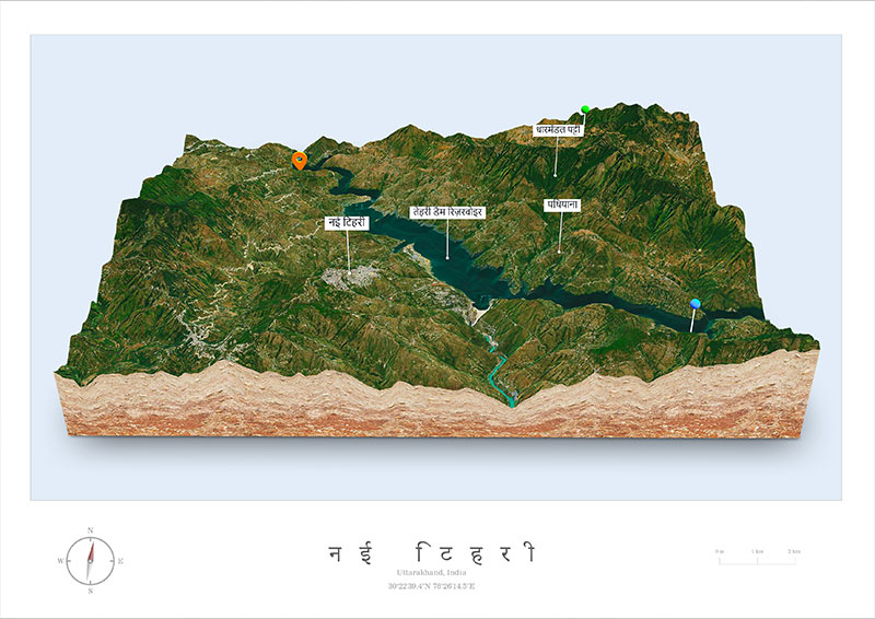
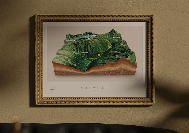
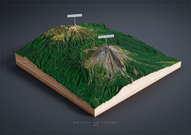
3D Map View: In the map editor you can customize your 3D map according to your wishes. Everything from map height to background is editable. Use the new marker and pins functions to make your map even more interesting for your users. Set POI (Points of interest) and text labels to represent a particular feature on your 3D map.

Map Editor Features

  • Map height
  • Map rotation
  • 100+ marker and pins
  • Popup options
  • Water level
  • Light settings
  • Texture editor
  • 14 edge textures or custom color
  • 8 skybox sets, custom color or transparent background

Over 100 elements for your 3D map

Choose the right 3D icon for almost any purpose! Position 3D icons on your map, making it more informative and visually appealing. You can rotate and resize each element, and most of them can be customized with your preferred color. Additionally, each 3D element can be accompanied by a popup containing an image, text, and a link.

GPS Import

Upload your GPS track directly to the location browser. GPX and Google KML files are supported. Path line thickness and color can be adjusted.

Search Options

There are various options for finding your locations: text input in the search field, drag and zoom, input of coordinates or via Google Maps link.

Different Map Layer

Depending on how the map is used, 5 different map layers are available: OpenStreetMap, OpenTopoMap, Outdoor, Satellite and Satellite Street.

Easy To Use

The 3D Map Maker interface design is very simple. You will be guided step by step to your 3D map. With many options to choose from, but as easy as possible.

Customize

All map parameters can be adjusted and changed. With markers, pins, textures and backgrounds, the maps become even more informative and unique.

Export

To be able to use the maps in a variety of ways, there are several export options: 3D file, high-res texture set, embed set and 3D print file.

What you get

Exporter

3D Files

In order to import/edit the 3D map in other apps, it can be exported to glTF 3D file. For example with blender and our free Blender add-on! To print the map in 3d it can be exported as an STL or OBJ.

Embed Set or Session

In order to embed the 3D map on a website via iFrame, it can be downloaded as an embed set. But there is a FREE WordPress plugin available that easily imports any map as session.

High-Res Images

Export printable images with transparent background of the 3D Map. The Texture & Heightmap Set can be used in other apps or for replacing the low-res images in the embed and glTF files.

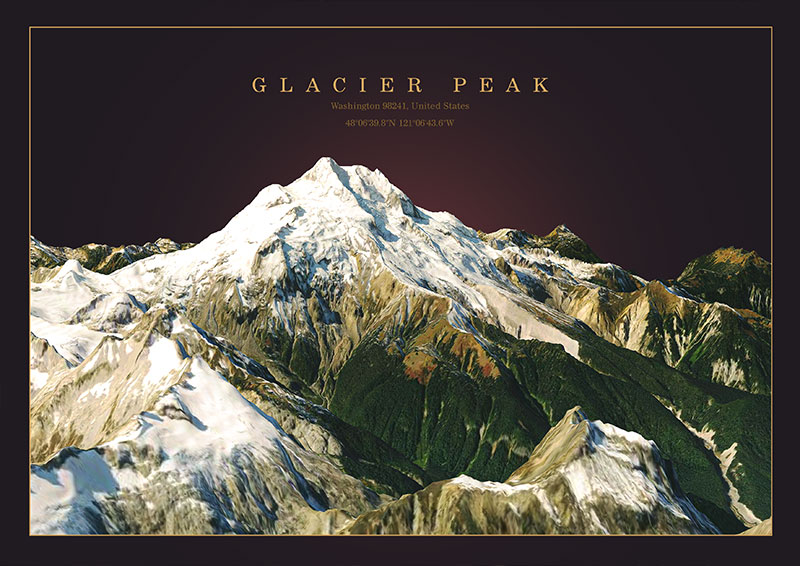
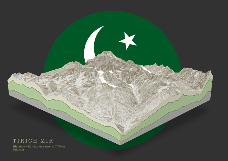
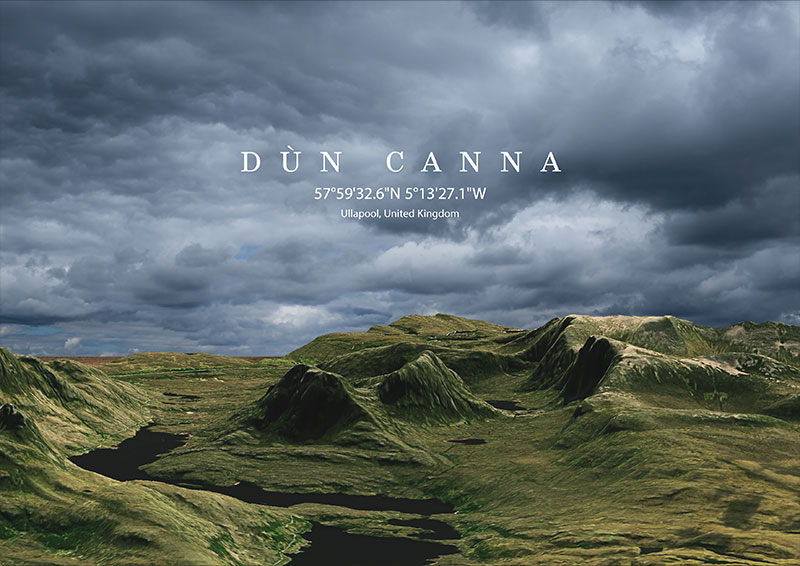
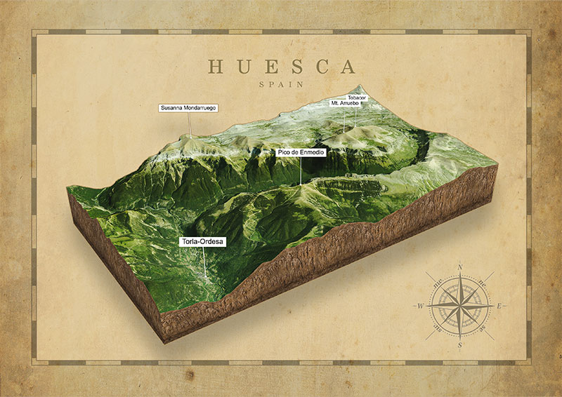
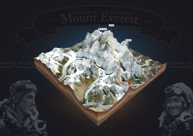
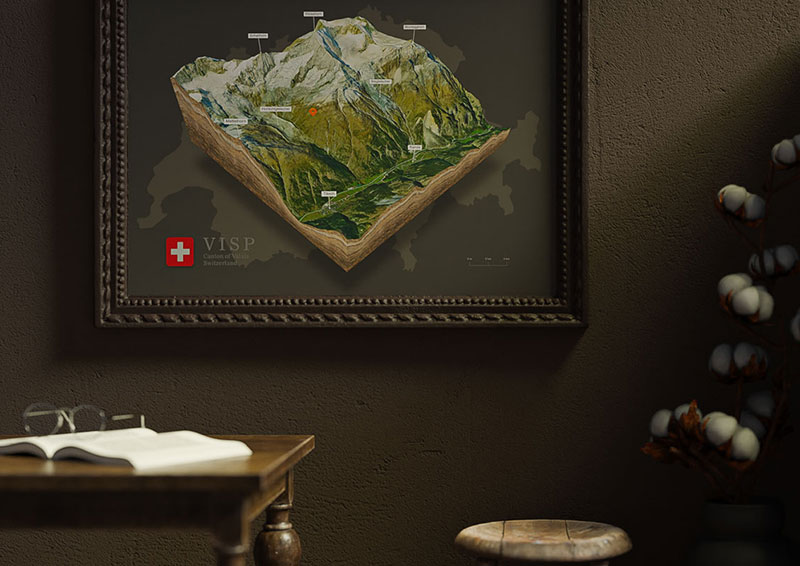
3D Maps Around the World

USA 3D Maps
Indian 3D Maps
3D Maps of Pakistan
Austria 3D Maps - Europe
United Kingdom 3D Maps - Europe
Spain 3D Maps - Europe
Mount Everest 3D Maps - Asia
Switzerland 3D Maps - Europe
Mexico 3D Maps