
In order to create a topographic representation of any region in the world as a 3D map model, expensive 3D mapping software is no longer required. With 3D-Mapper you can generate and edit a 3D relief map online in just a few minutes without any 3D or other technical knowledge. Unlike with Google 3D map, Google Earth 3D map or 3D map Bing in 3D map view, not only regions can be explored with 3D-Mapper, but you can also save defined areas and export them for various purposes. For this there’s created a topographic 3D map of the selected area first. Then this 3D terrain can be styled with various design tools and upgraded to an interactive 3D map by using additional information on pins and labels.

3D Relief Map Download
The final 3D map can be downloaded as a 3D file (gltf / glb / stl / obj) and edited with most common 3D software. For easy import into Blender, you can also download our free Blender add-on.
If you want the final result to be a 3D map print, the map can be exported as a high-res PNG image with a transparent background. For a 3D print or CNC milling, it can also be exported as an STL or OBJ file.
In order to embed the 3D map on your own website, you can download the map as an Embed Set. This set can be embedded on almost any website via iFrame without any problems. On a WordPress site, this can be done much more easily and conveniently with our free WordPress plugin.
You can also download a texture set of your map. The set consists of the PNG images of the 3D map surface texture (satellite or OSM) and the respective grayscale heightmap in the best possible resolution. These high-res images can be used, for example, to replace the low-res images in the embed set. They can also be used to create 3D models in other apps, such as our 3D map generator and Adobe Photoshop.

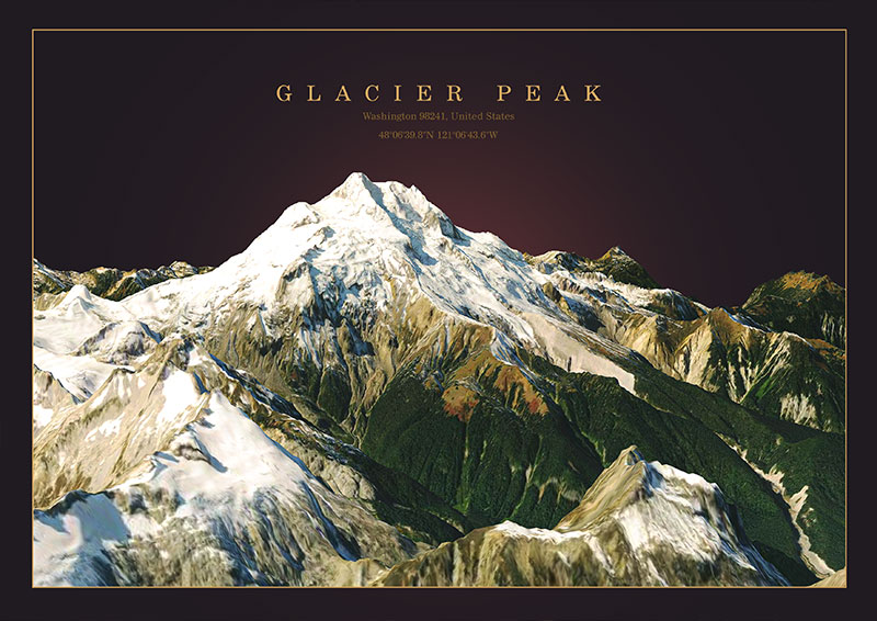
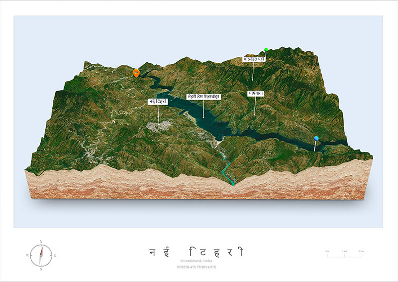
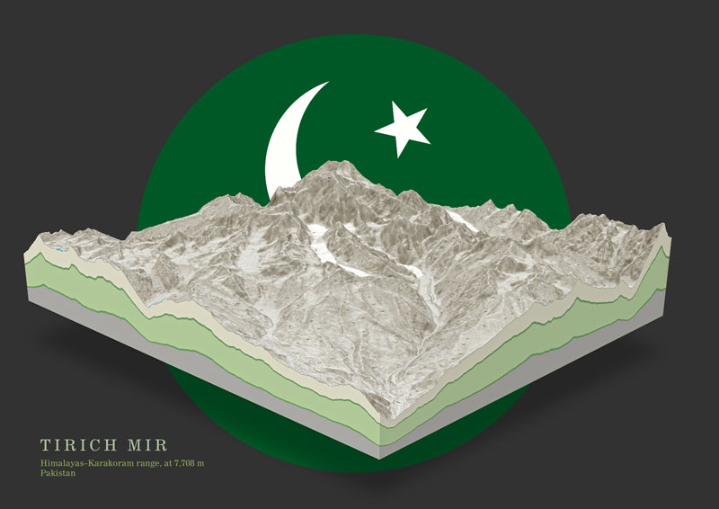
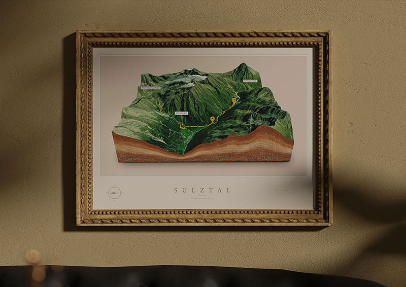
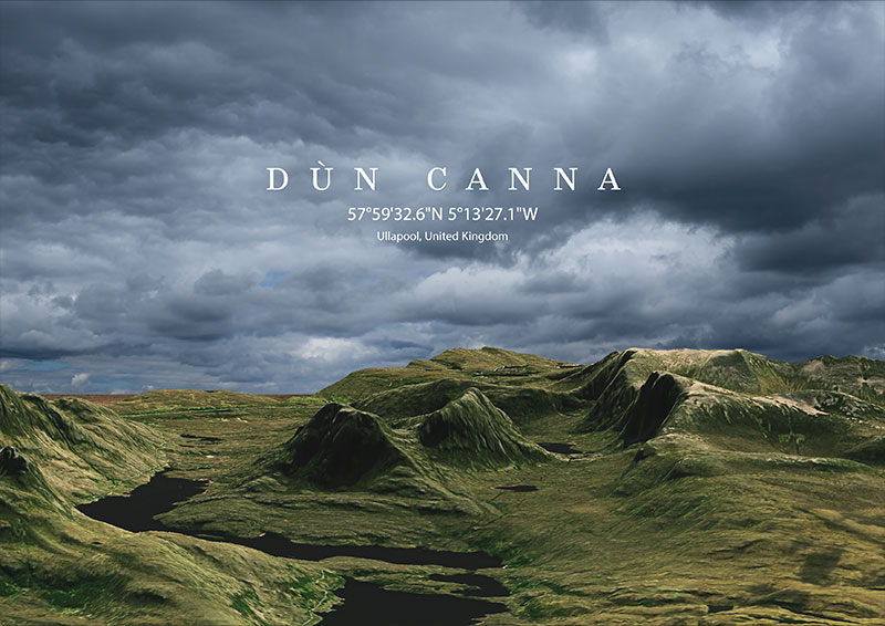
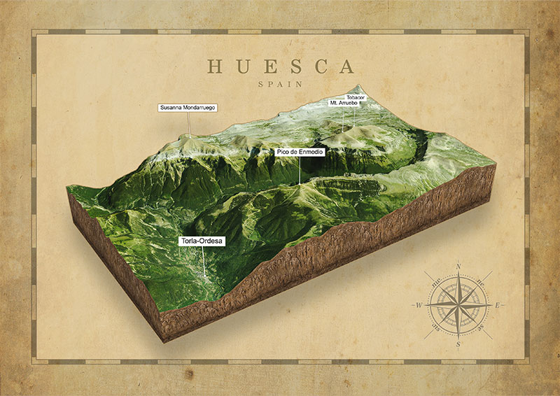
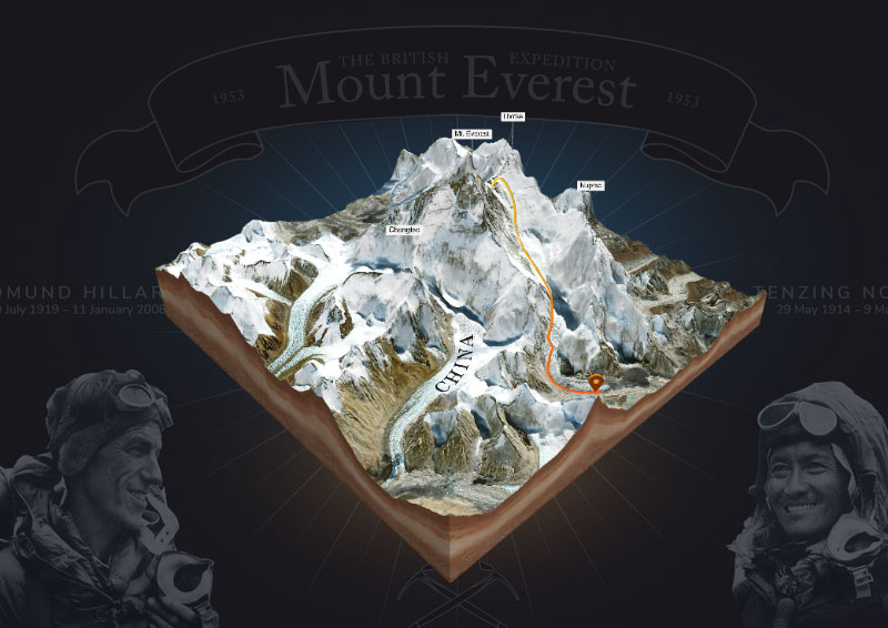
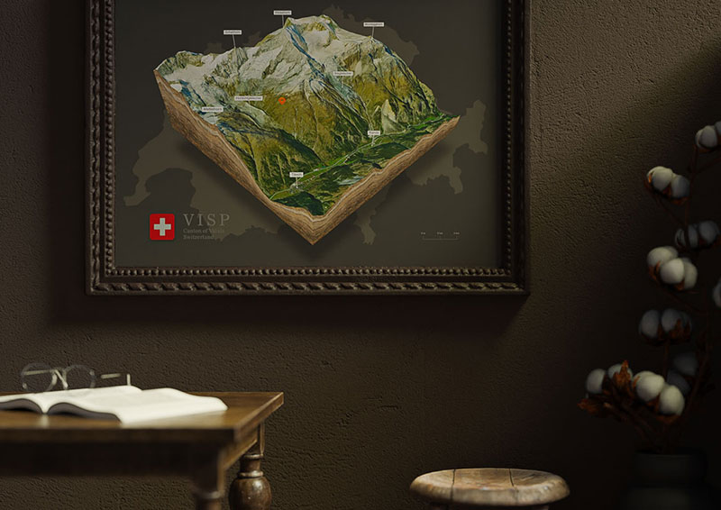
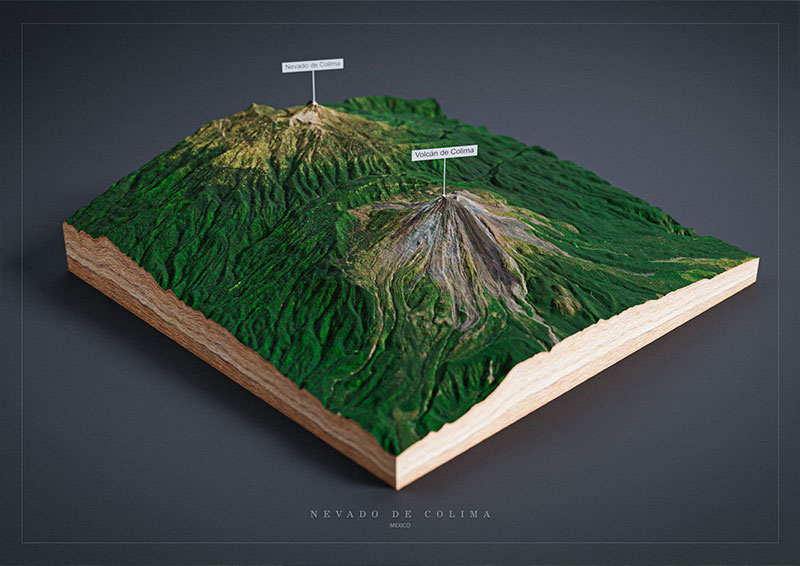
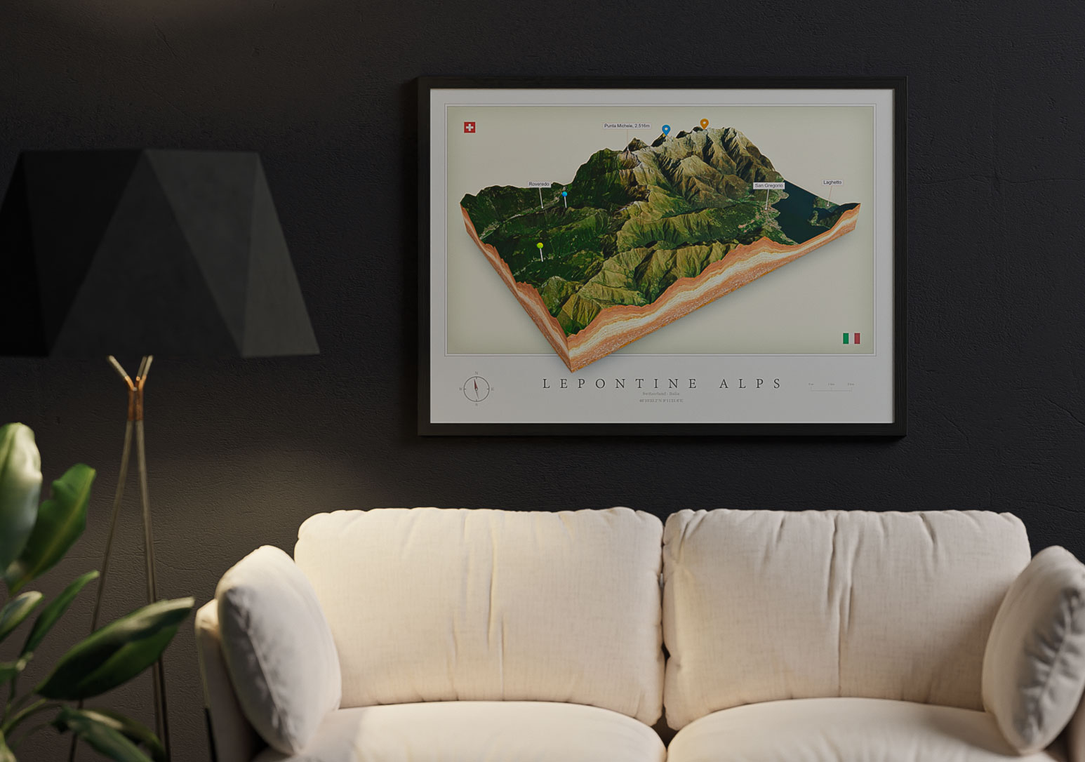
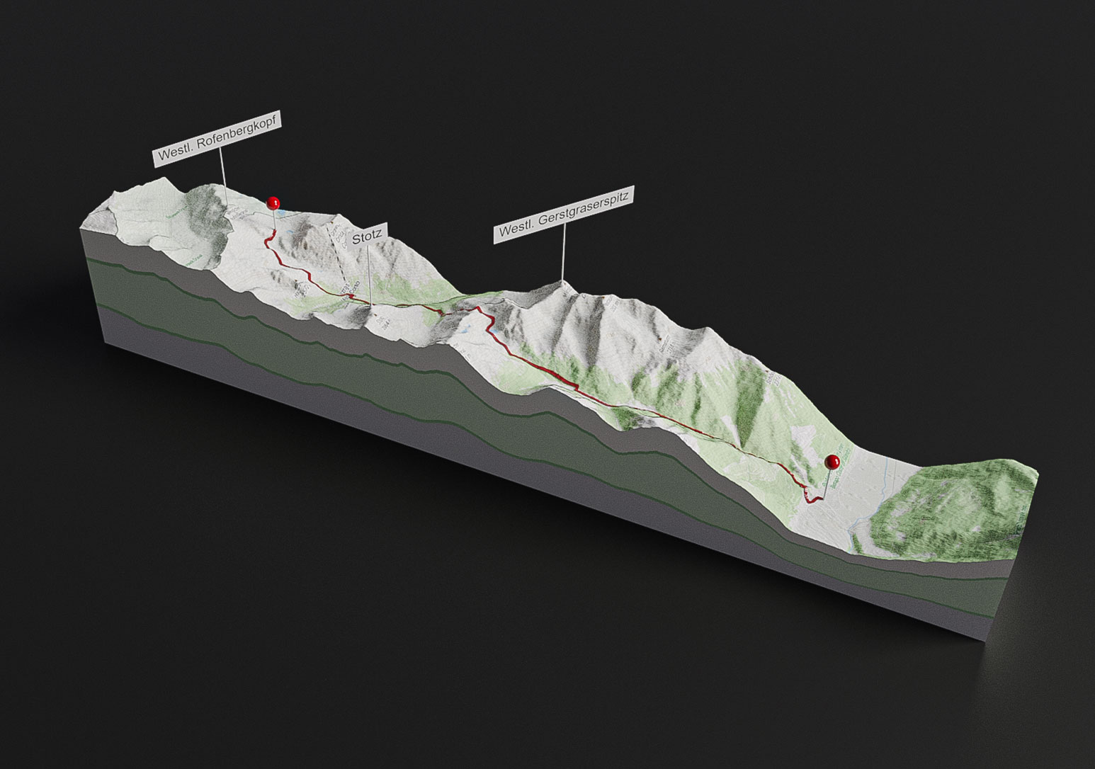
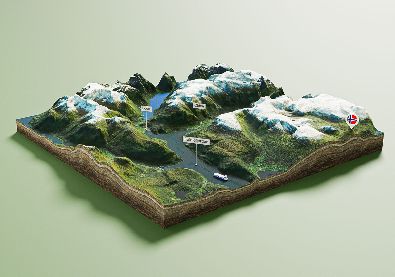
3D Maps Around the World