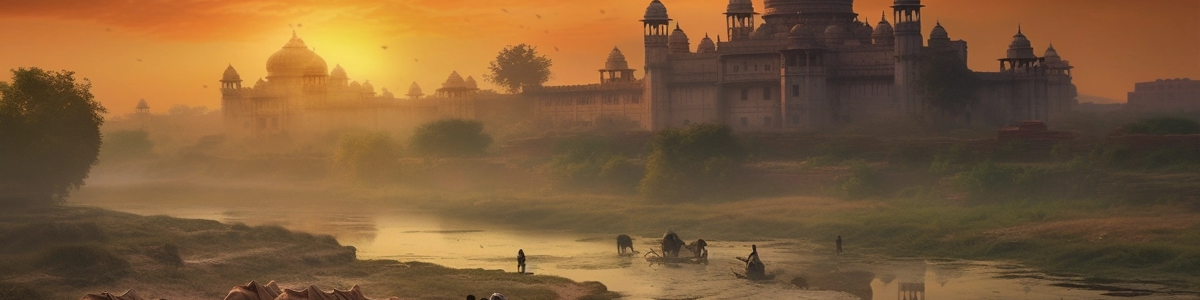
India 3D Map
Generate and customize 3D maps of India in minutes!
Download, print or embed it. Dead easy – all in the Browser.
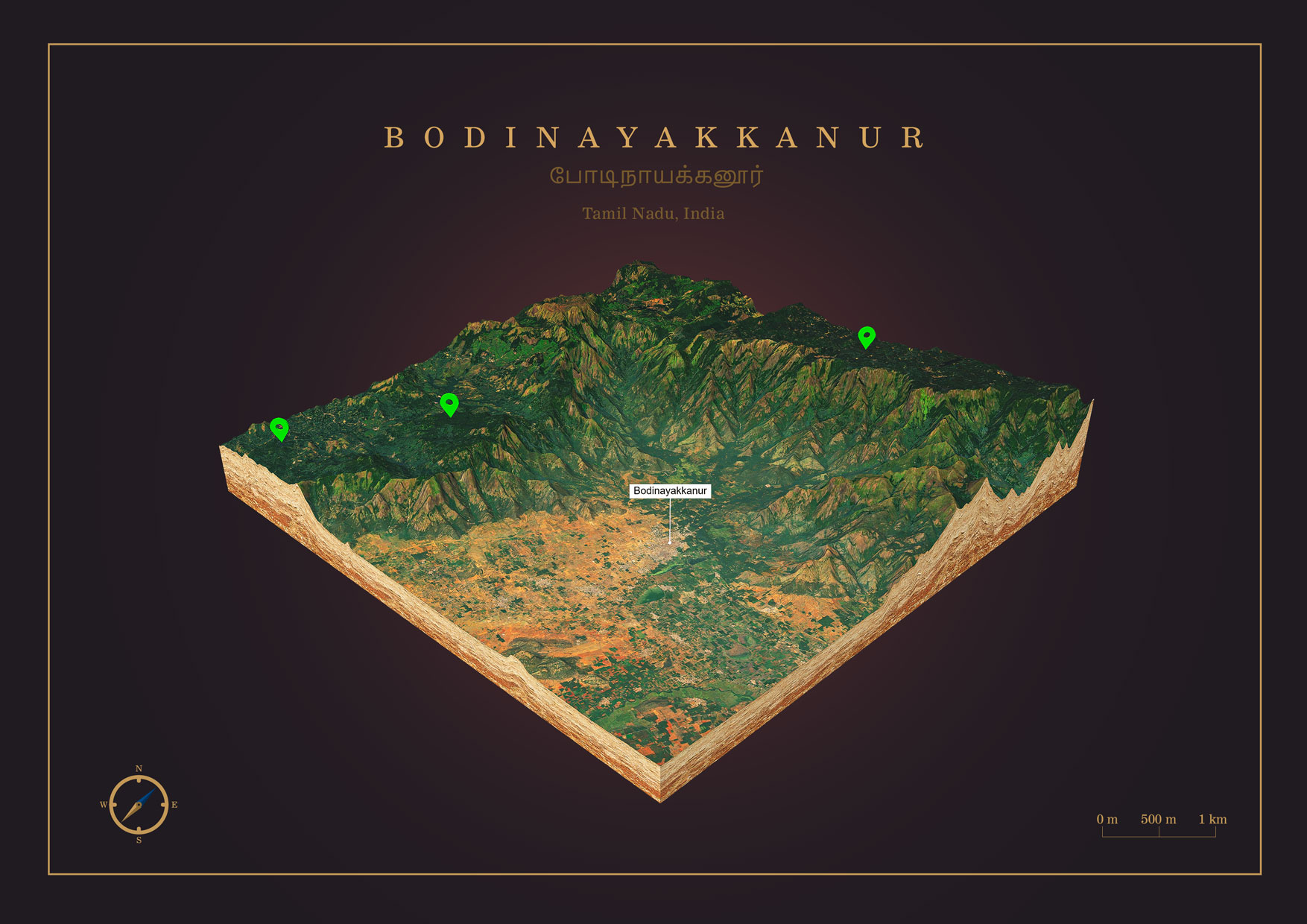
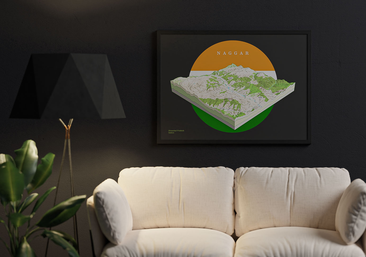
Print a Piece of India as 3D Map
You can export your 3D map as PNG file with transparent background in a size of up to 4000 x 4000 px. You can easily integrate this PNG into your layout and create print files from it. For example for canvas prints, poster, brochures or flyers.
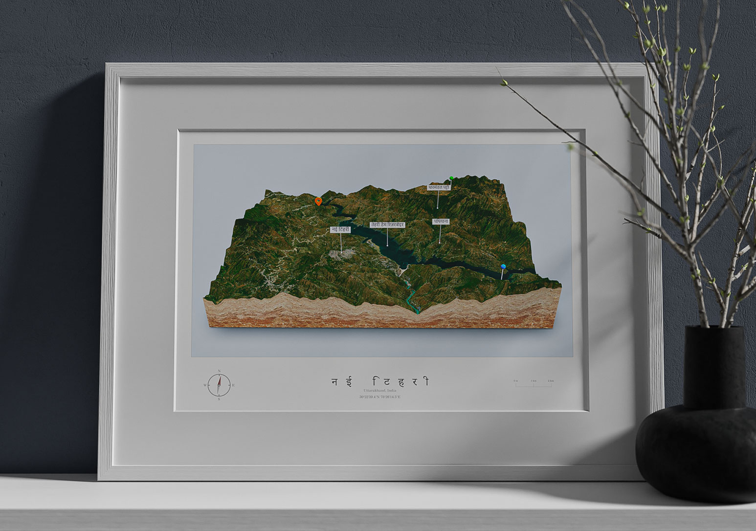
Embed India 3D Map on your Website
You can easily embed your 3D maps on your website. You can create labels and pins. Use different textures for the map borders and background sky.
Your visitor can explore the map by rotating and zooming. The interactive 3D map is not just a image of a piece of India, it is an eye-catcher and the visitor will enjoy your website!
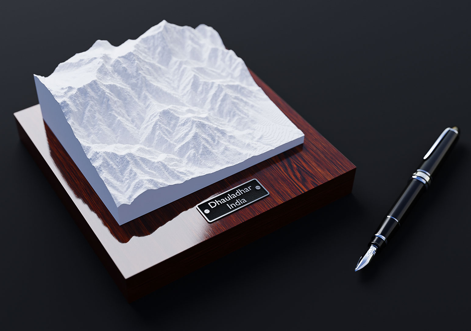
Download India 3D Map as 3D file
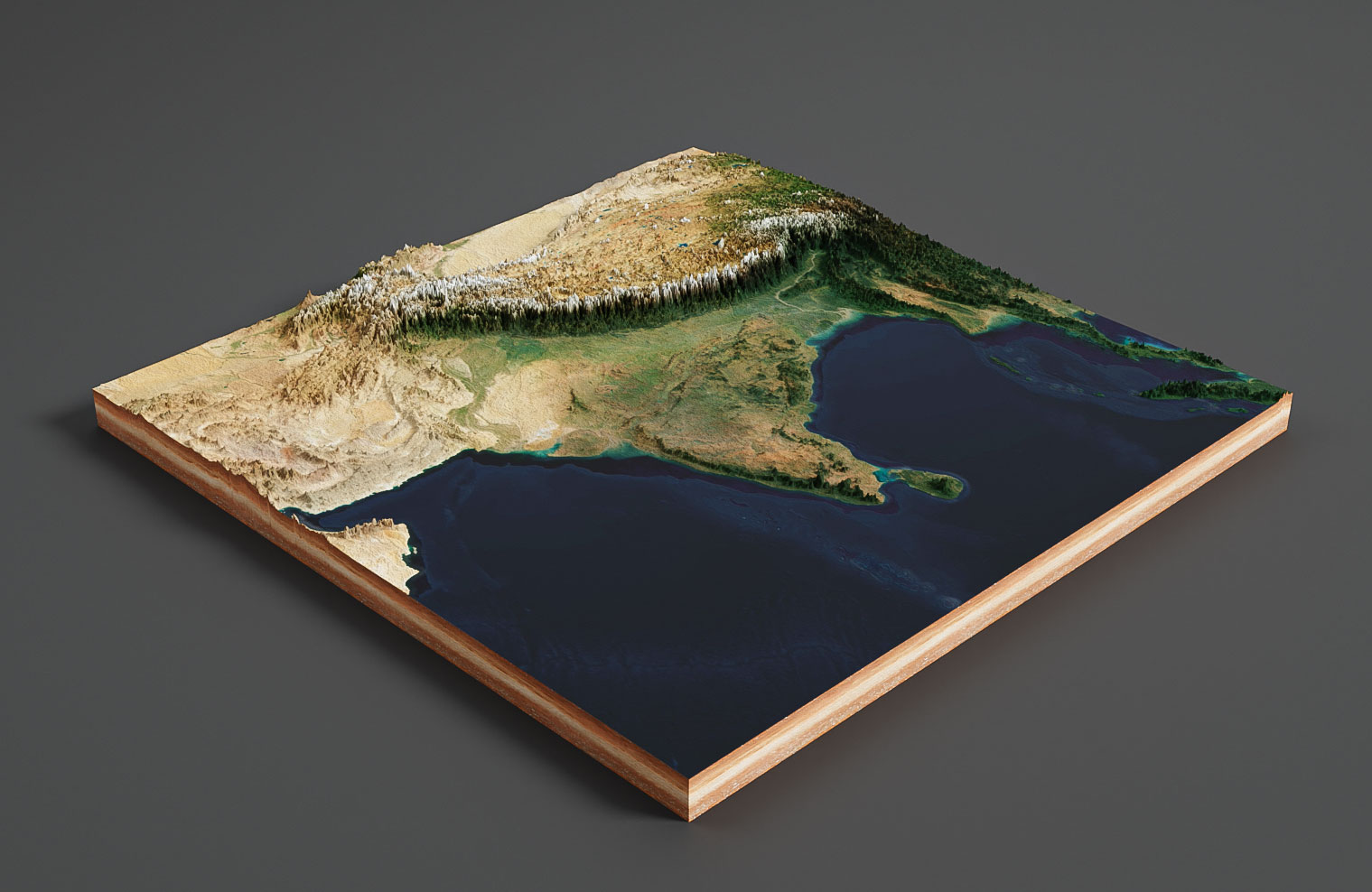
Export the 3D map as a 3d file and use it in other 3D software. GLB or glTF can be selected as the export format.
In the example you see a 3D map of India rendered with Blender. It was imported with our free Blender add-on.
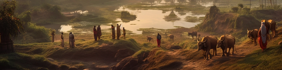
Facts about India
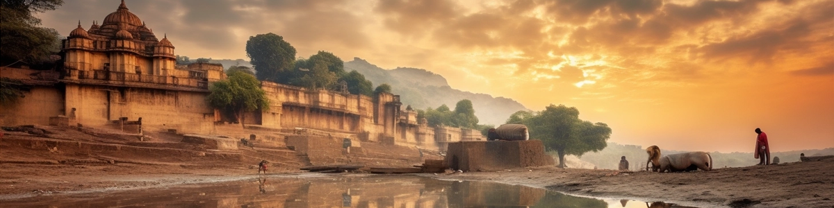
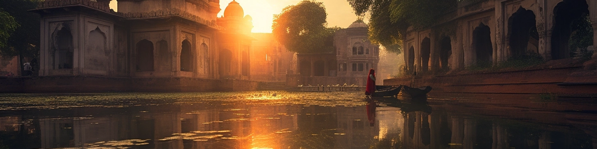

Republic of India ( Bhārat Gaṇarājya ) India is a South Asian country known for its rich history, diverse culture, and booming economy. Here are some key facts about the country:
Geography: India has a land area of 3.3 million square kilometers and is the seventh largest country in the world. It shares borders with Pakistan to the west, China and Nepal to the north, Bhutan to the northeast, and Bangladesh and Myanmar to the east. The country has a diverse geography, ranging from the Himalayan mountain range in the north to the Thar Desert in the west, and from the lush tropical forests of the south to the arid plains of the north.
Demographics: India has a population of over 1.3 billion people, making it the second most populous country in the world. Hindi and English are the official languages, but there are over 1,600 other languages spoken in the country. India is known for its diverse population, with people from all over the world immigrating to India.
Culture: India has a rich cultural heritage that has been influenced by a range of religions, including Hinduism, Buddhism, Jainism, Islam, and Sikhism. The country is known for its music, art, literature, and cuisine, which vary widely from region to region. Popular cultural exports include Bollywood movies, Indian classical dance, and traditional clothing like sarees and kurta pajamas.
Economy: India has the fifth largest economy in the world, with a GDP of over $2.9 trillion. The country is a major exporter of textiles, jewelry, software, and pharmaceuticals. The service sector is the largest part of the Indian economy, followed by agriculture and manufacturing.
Politics: India is a federal parliamentary democratic republic with a president as the head of state and a prime minister as the head of government. The country has a multi-party system, with the Indian National Congress and the Bharatiya Janata Party being the two largest national parties. India is known for its vibrant democracy, with regular free and fair elections.
Overall, India is a diverse and culturally rich country with a booming economy. Its cultural exports and contributions to the fields of science, technology, and literature have had a significant impact on the world. Whether you’re interested in history, culture, or business, there’s something for everyone to explore in India.