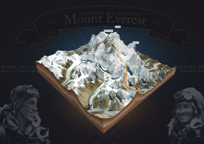
The 1953 British Mount Everest expedition was the ninth mountaineering expedition to attempt the first ascent of Mount Everest, and the first confirmed to have succeeded when Tenzing Norgay and Edmund Hillary reached the summit on 29 May 1953. Led by Colonel John Hunt, it was organised and financed by the Joint Himalayan Committee. News of the expedition’s success reached London in time to be released on the morning of Queen Elizabeth II’s coronation, on 2 June that year.
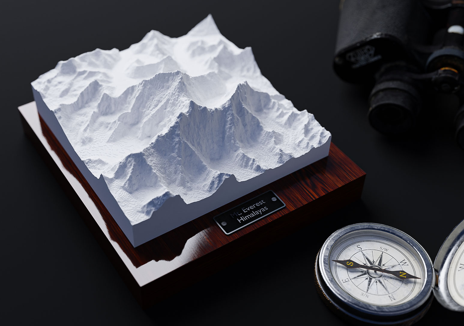
Download Mt. Everest 3D Map as 3D file
Export the 3D map as a 3d file and use it in other 3D software. GLB or glTF can be selected as the export format.
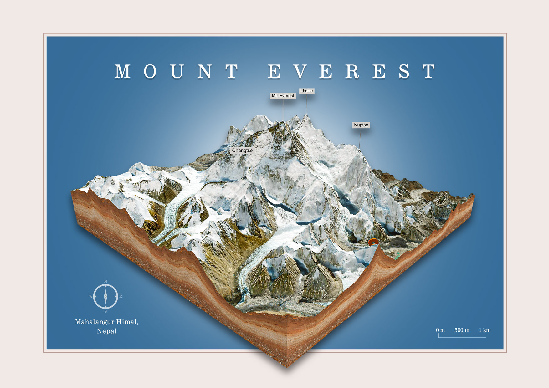
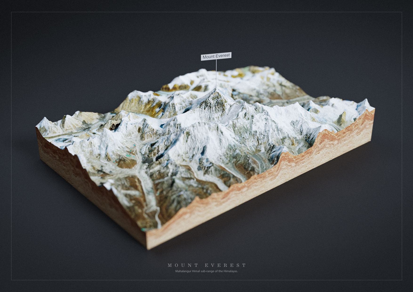
In the example you see the Mahalangur Himal sub-range of the Himalayas with the Mount Everest in the center as 3D map rendered with Blender. It was imported with ourfree Blender add-on. Click to enlarge.
Facts about Mount Everest
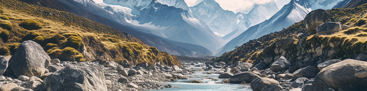
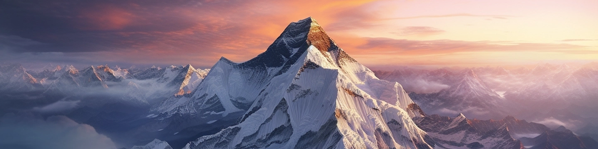
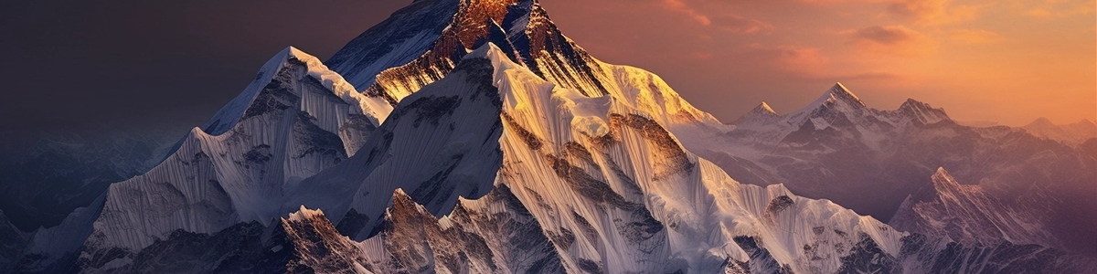
Mount Everest, also known as Sagarmatha in Nepal and Chomolungma in Tibet, is the highest peak in the world. It is located in the Mahalangur Himal sub-range of the Himalayas, on the border between Nepal and Tibet, and stands at an elevation of 8,848 meters (29,029 feet).
The first successful ascent of Mount Everest was made by Sir Edmund Hillary of New Zealand and Tenzing Norgay, a Sherpa of Nepal, in 1953. Since then, thousands of climbers from around the world have attempted to summit the mountain, with varying degrees of success.
Climbing Mount Everest is a dangerous and challenging feat, with high-altitude sickness, extreme weather conditions, and avalanches being some of the major risks. As of 2021, over 300 climbers have died on Mount Everest, with many of them losing their lives due to altitude sickness or falls.
Despite the risks, climbing Mount Everest remains a popular and coveted achievement for mountaineers around the world. The climbing season typically runs from April to May, with climbers making their ascent from the south side in Nepal or the north side in Tibet.
In recent years, concerns have been raised about the impact of climbing on the mountain’s fragile environment. The increasing number of climbers, along with their waste and equipment, has led to concerns about pollution and environmental degradation. Efforts are being made to reduce the impact of climbing on Mount Everest, including limiting the number of permits issued and enforcing stricter waste management policies.
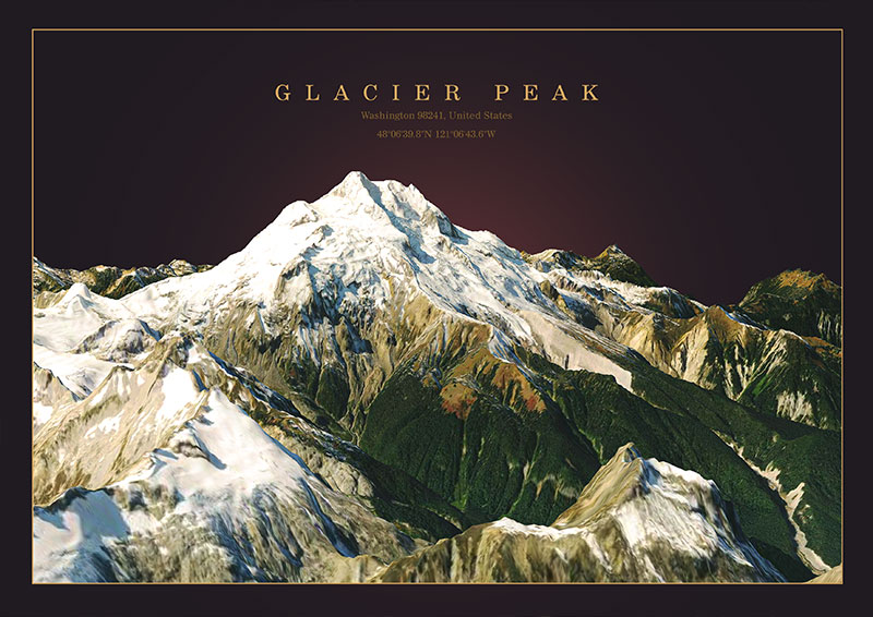
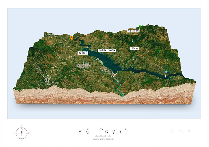
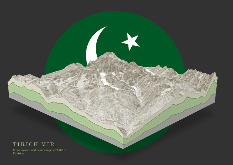
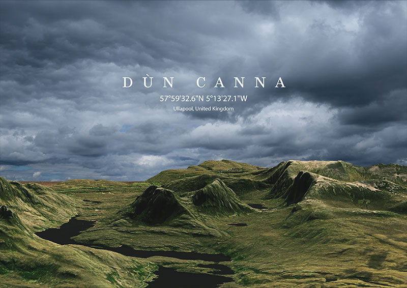
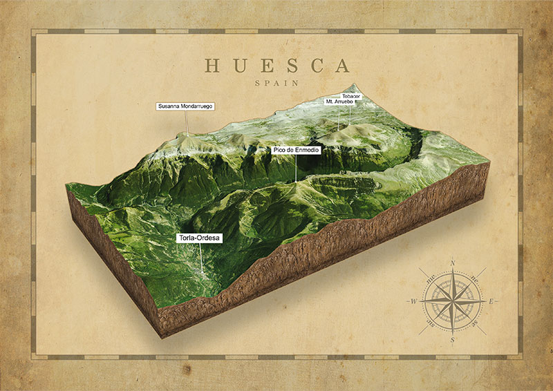
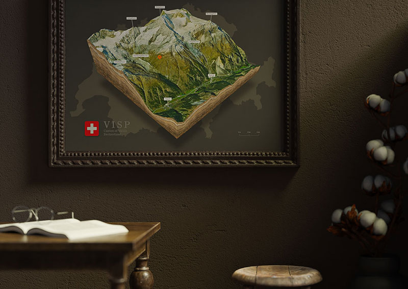
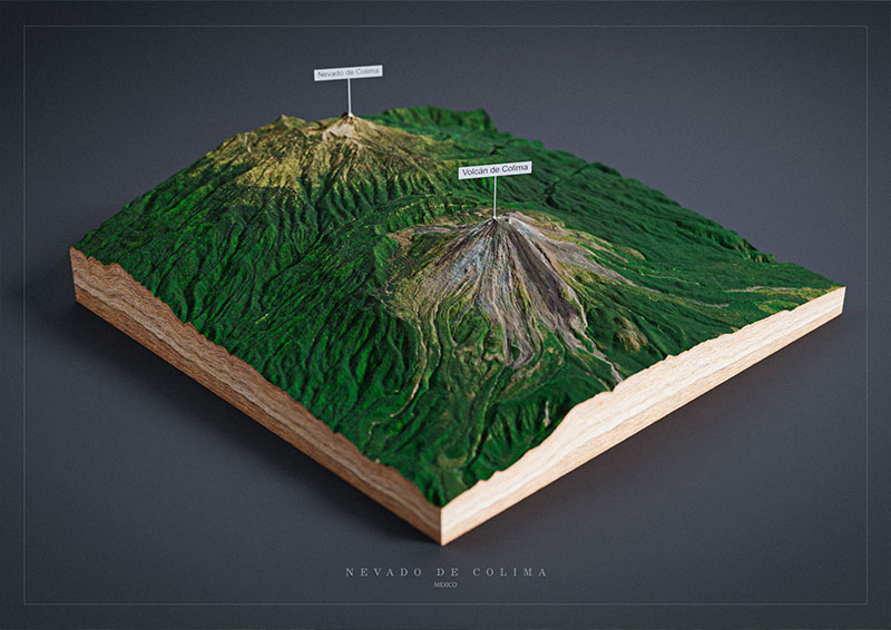
3D Maps Around the World