Bring Your Outdoor Adventures to Life: Interactive 3D Route Storytelling
Transform Your Outdoor Experiences
with Interactive 3D Maps
Our 3D maps provide intricate terrain insights, aiding in route planning and difficulty assessment. Seamlessly integrate GPX tracks, compare routes and uncover hidden gems with interactive waypoints. Preview your journey virtually.
Capture memories by adding notes, photos and multimedia to your map. Elevate your outdoor experiences to new heights with our user-friendly 3D maps.
Now, give it a try yourself: rotate the 3D map, tilt it, zoom in and then click on the 3D pins on the map to learn more!
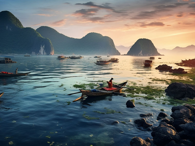
Enhancing Travel Experiences with Interactive 3D Maps
Welcome to a new dimension of travel planning and exploration! Dive into the innovative world of interactive 3D maps and discover how they can transform the way you present travel experiences to your clients as a forward-thinking travel agency.
Now, give it a try yourself: rotate the 3D map, tilt it, and then click on the 3D pins on the map to learn more about each stop of the journey!


How Can a 3D Map Benefit Athletes and Outdoor Enthusiast?
Terrain Analysis Gain a comprehensive understanding of elevation changes, slopes, and topographical features to better prepare for outdoor adventures like hiking, mountain biking, and trail running.
GPX Track Integration Overlay past excursion tracks onto the 3D map, enabling a detailed comparison with planned routes for a smoother and safer journey.
Visualization of Points of Interest Easily identify and explore key points of interest along the route, from scenic overlooks to historical landmarks, enhancing the overall outdoor experience.
Realistic Preview Virtually explore the route before embarking on your adventure. Understand elevation changes, trail conditions, and potential challenges, providing a digital scouting mission.
Memory Preservation Document your journey by adding notes, photos, and multimedia content to specific locations on the 3D map, creating lasting memories of your outdoor experiences.
These features empower athletes and outdoor enthusiasts to make informed decisions, enhance safety, and enrich their outdoor adventures. By seamlessly integrating 3D maps into their planning process, they can transform their excursions into well-organized, memorable, and enjoyable experiences.
What you say
about our 3D maps
I’m a trail runner, and these 3D maps have become an essential part of my training. They offer a detailed view of the landscape, allowing me to choose routes that match my fitness level. Importing GPX tracks helps me track my progress and set new goals. The interactive features make it fun to explore new trails, and adding photos along the way keeps my runs memorable. I can’t imagine my runs without these maps.
 Emil Reynolds, Your Content Goes Here
As a mountain biker, I rely on accurate trail information. These 3D maps provide a realistic preview of the terrain, helping me prepare for steep ascents and technical descents. I love the interactive waypoints for discovering new trail features. The ability to add notes and photos during my rides adds a personal touch to my biking memories. These maps have taken my mountain biking to the next level.
 Mark Davis, Your Content Goes Here
I’m an avid hiker, and these 3D maps have revolutionized my outdoor adventures. They provide invaluable insights into terrain and elevation changes, making it easier to plan and navigate challenging trails. The GPX track integration is a game-changer, allowing me to compare routes and improve my hiking experiences. Thanks to these maps, my hikes have become safer and more enjoyable.
 Sarah Turner Lee, Your Content Goes Here