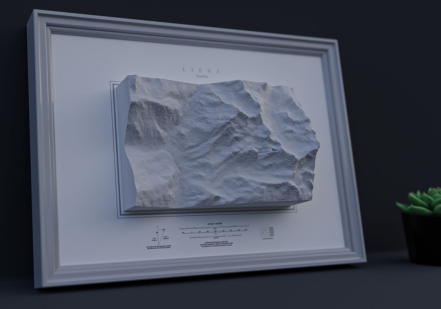
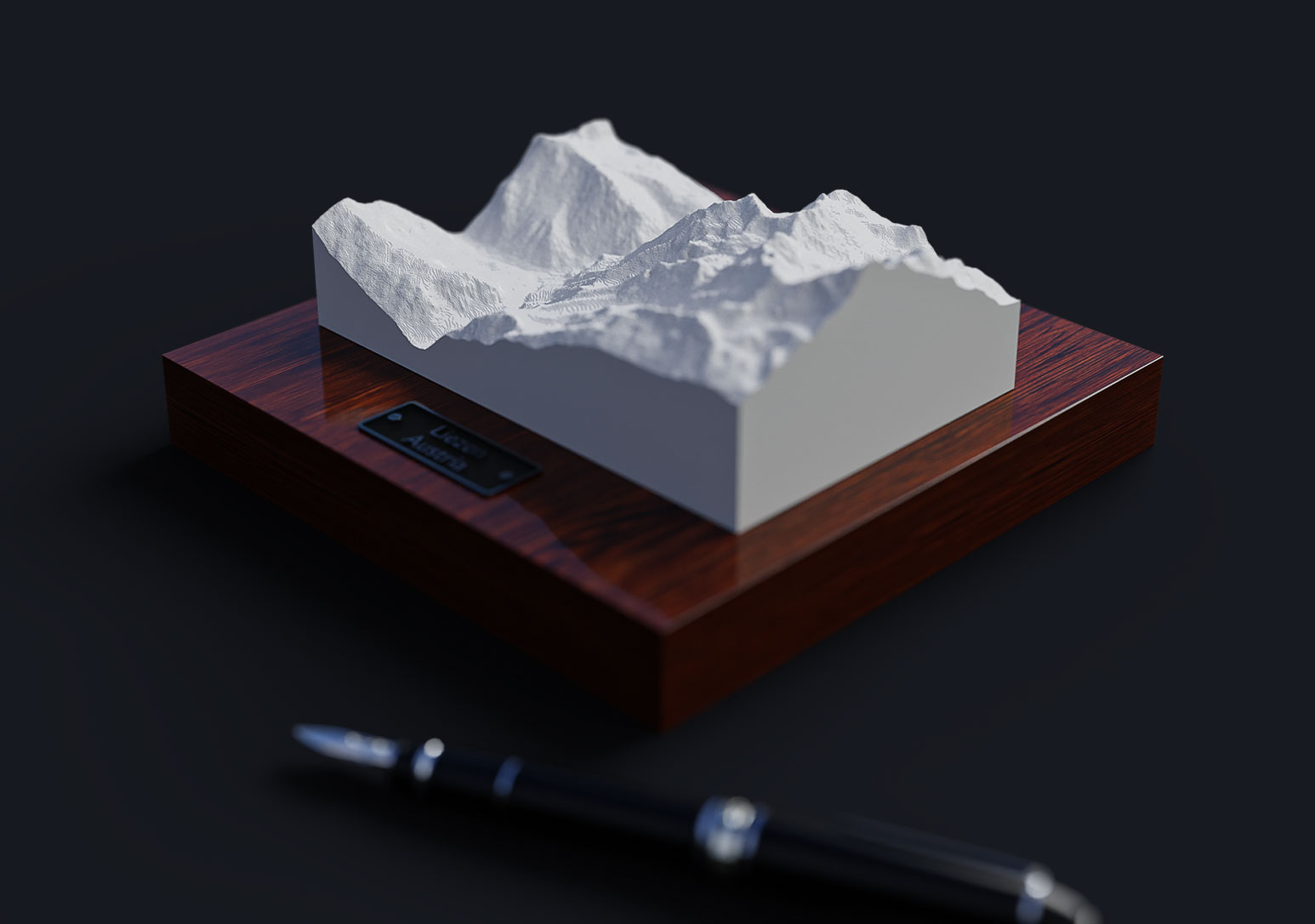
3D Print Your Map
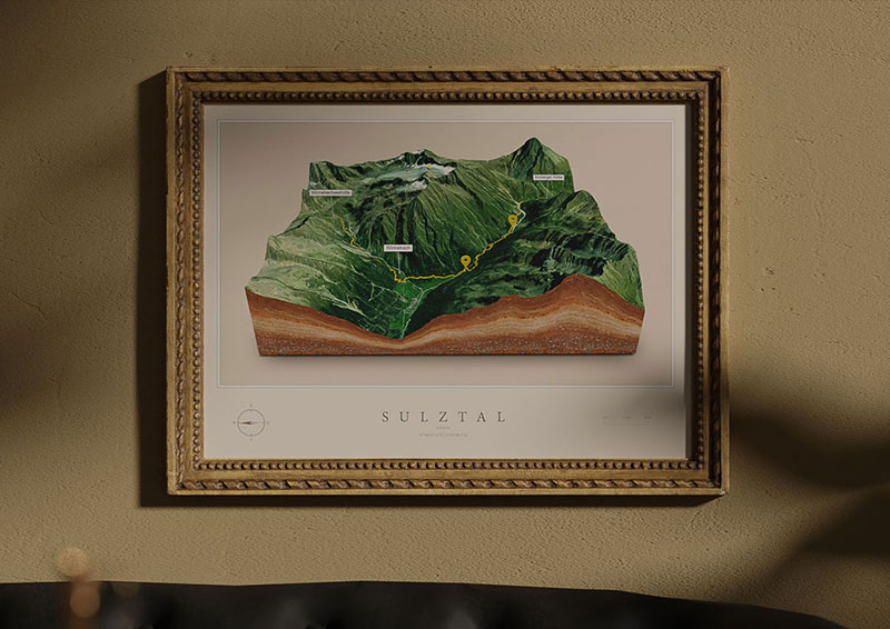
Hold your 3D map in your hands. Can you feel the mountains and valleys? This is undoubtedly a new dimension!
The final 3D map can be exported as a 3d-print-ready STL or OBJ file. Now you can print your map as big as you want!
There is no 3D printer available right now? Just use an online service for 3D printing for example: Sculpteo, Shapeways, Hubs or search for a local 3D print shop.

3D Print Ideas
A 3D-printed 3D map could be an excellent tool for a wide variety of purposes. Here are three potential applications:
Educational tool: A 3D-printed 3D map could be used as an educational tool to help students better understand geographical or historical events. For example, a 3D-printed map of a historical site or battlefield could help students visualize the terrain and movements of troops. A 3D-printed map could also be used to demonstrate geological features or topography.
Marketing and promotional tool: A 3D-printed 3D map could be a unique and attention-grabbing marketing or promotional tool. For example, a tourism board could use a 3D-printed map of a city or region to showcase key attractions and landmarks. A real estate agency could use a 3D-printed map of a neighborhood or development to highlight features of the area.
Navigation and orientation tool: A 3D-printed 3D map could be used as a navigation and orientation tool in various settings. For example, a hospital could use a 3D-printed map to help patients and visitors find their way around the facility. A shopping mall could use a 3D-printed map to help customers find specific stores or amenities.
Overall, a 3D-printed 3D map can be a versatile and effective tool for various purposes. Whether you’re using it as an educational tool, marketing and promotional tool, or navigation and orientation tool, a 3D-printed map can help you communicate information in a clear, engaging, and memorable way. So why not consider using a 3D-printed 3D map for your next project or campaign?
Examples
STL and OBJ
Export your 3D map as .stl or .obj for 3d printing


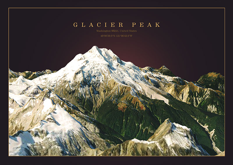
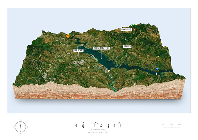
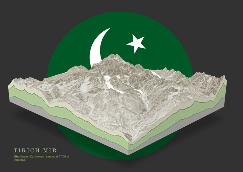
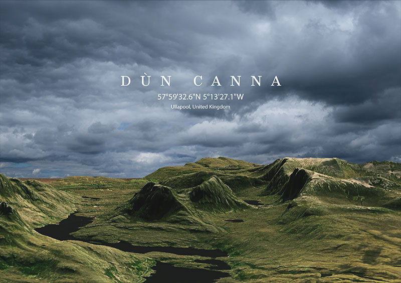
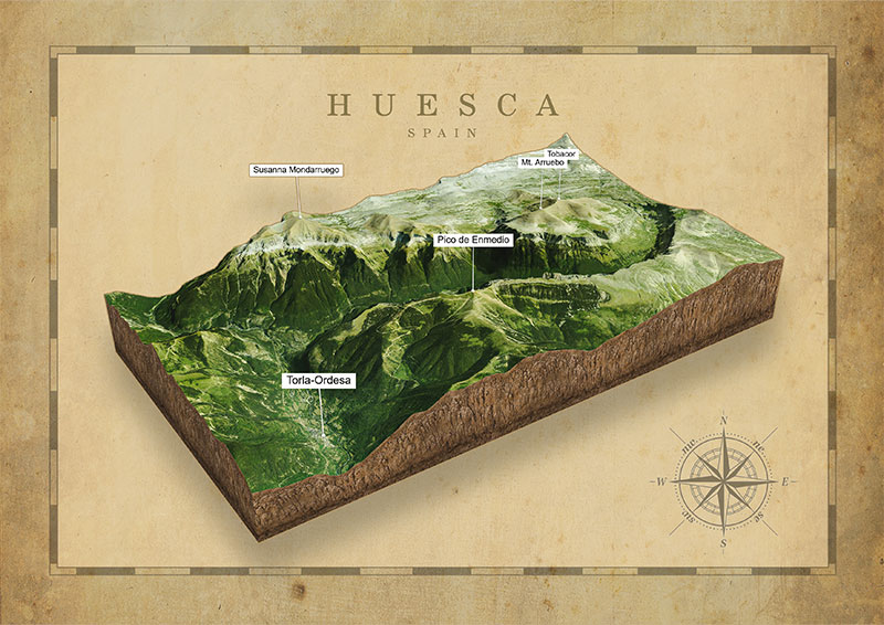
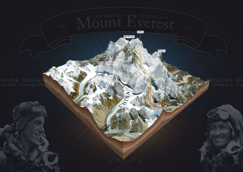
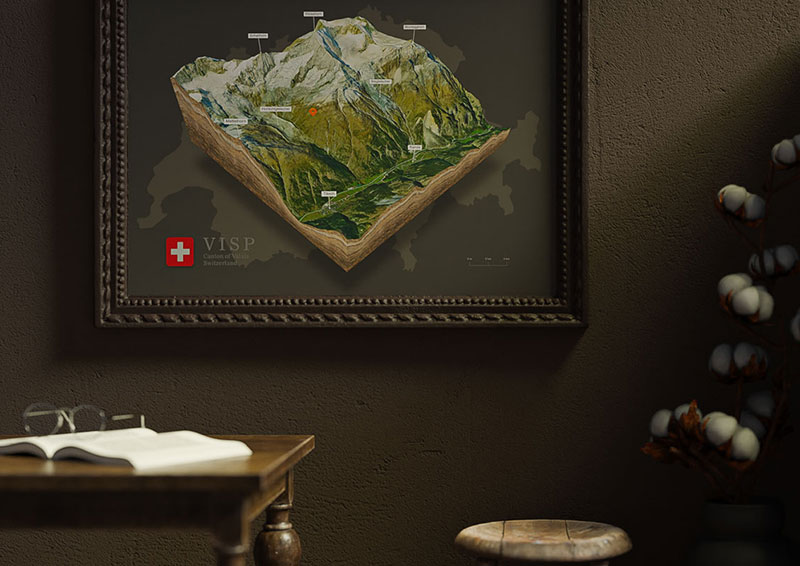
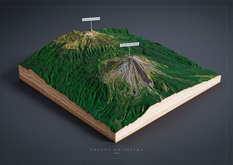
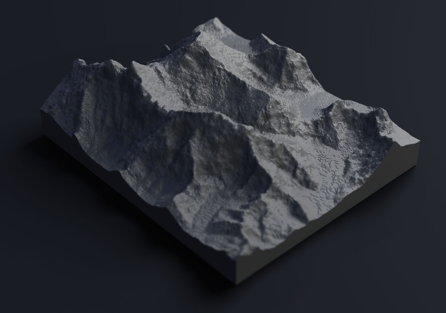
3D Maps Around the World